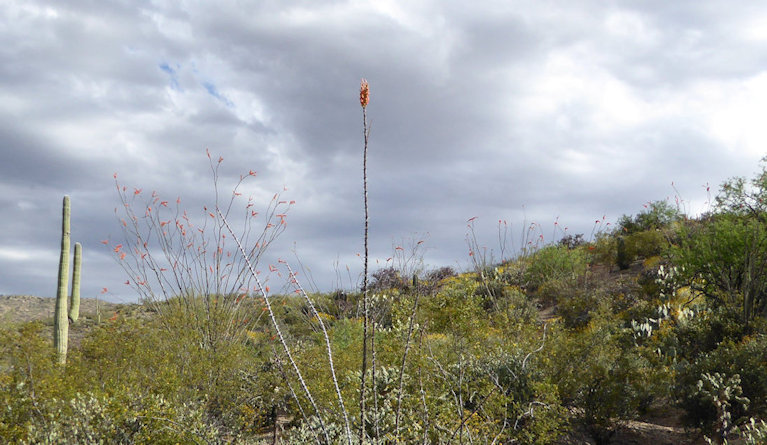
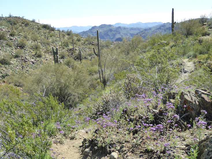
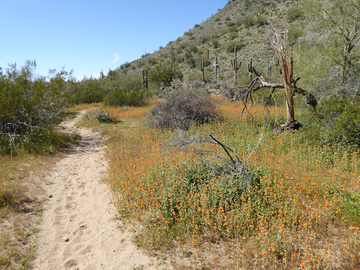
Ocatillo in bloom along with Brittlebush and Creosote.
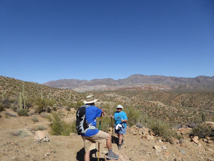
Greg and Rita on the trail and enjoying the desert in bloom.
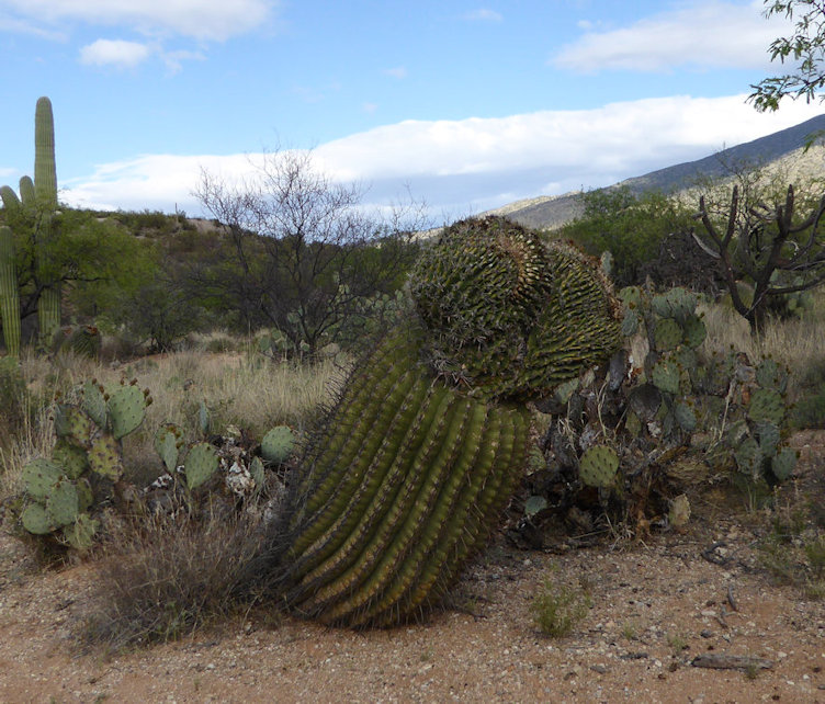
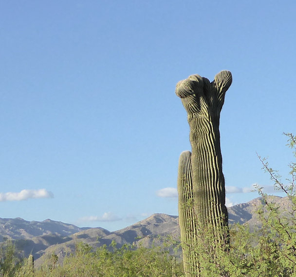
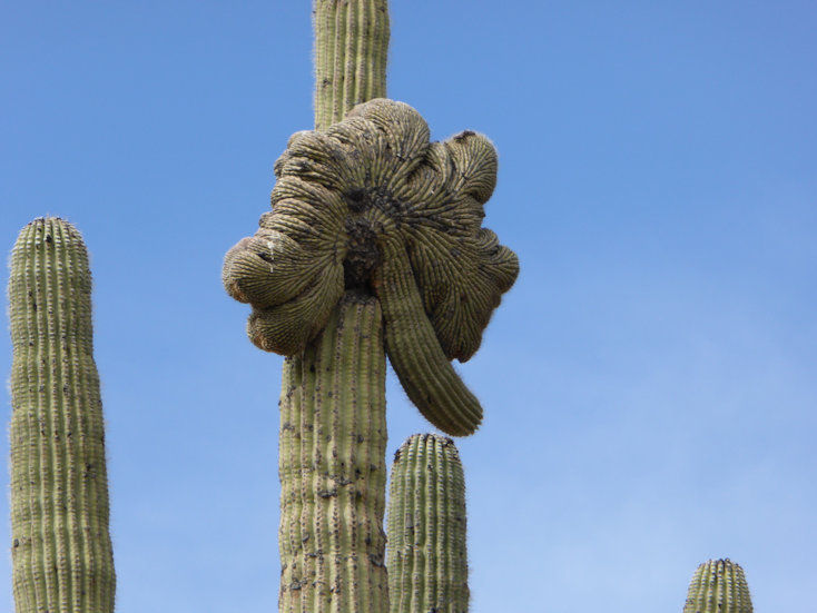
A Saguaro beginning to turn Crested at the top.
Closeup. . .
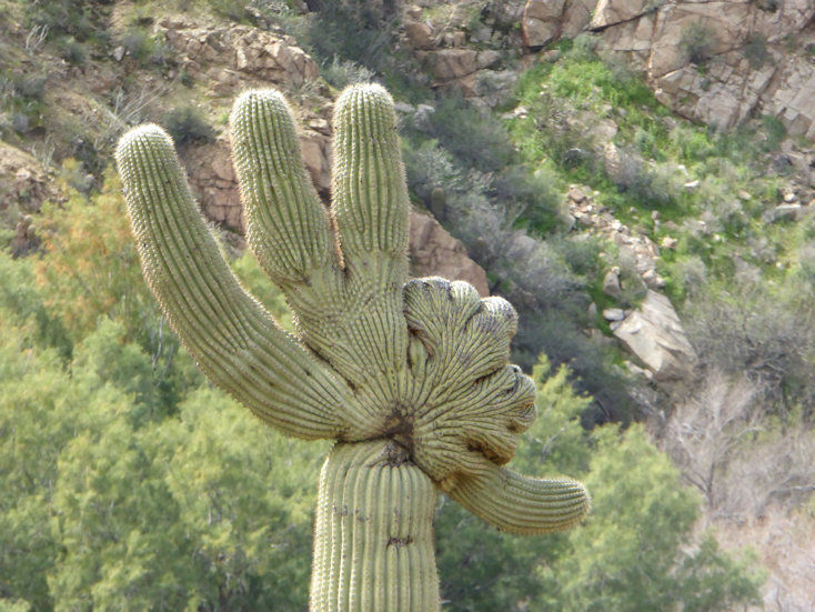
Another Crested Saguaro that's a lot further along than the one in the previous photo.
Yes, that's yet another Crested. This one is actually on the road just outside of the Saguaro National Park-East. Definitly a "Crested day"!
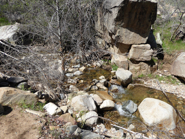
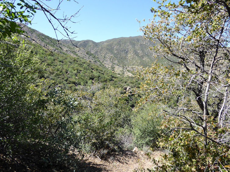
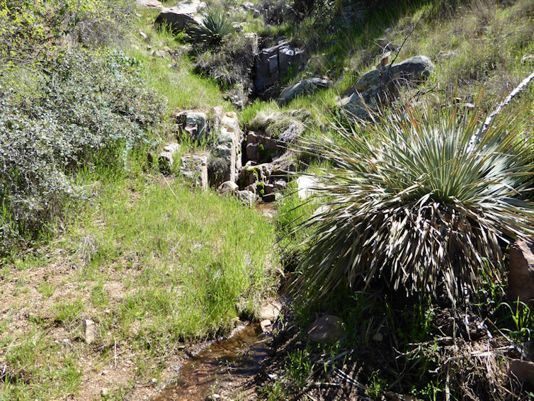
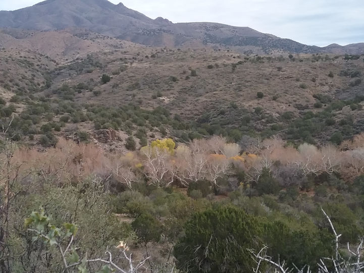
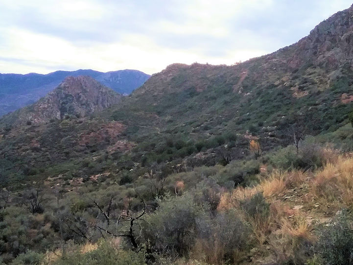
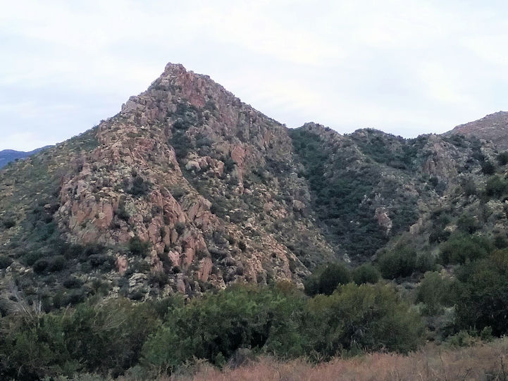
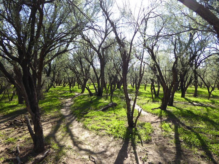
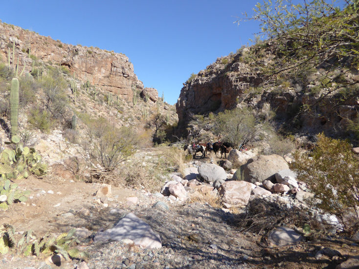
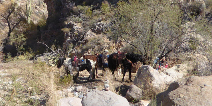
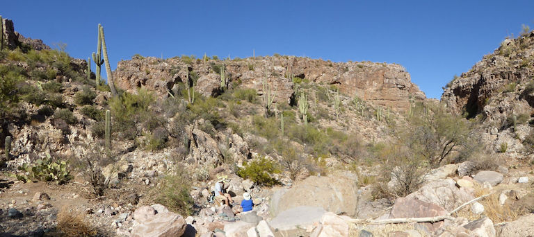
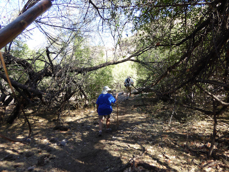
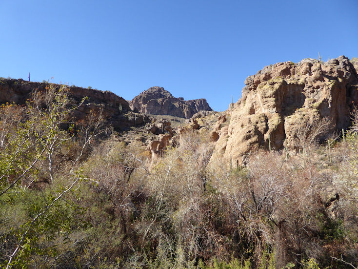
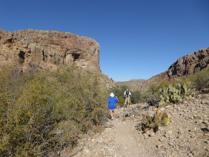
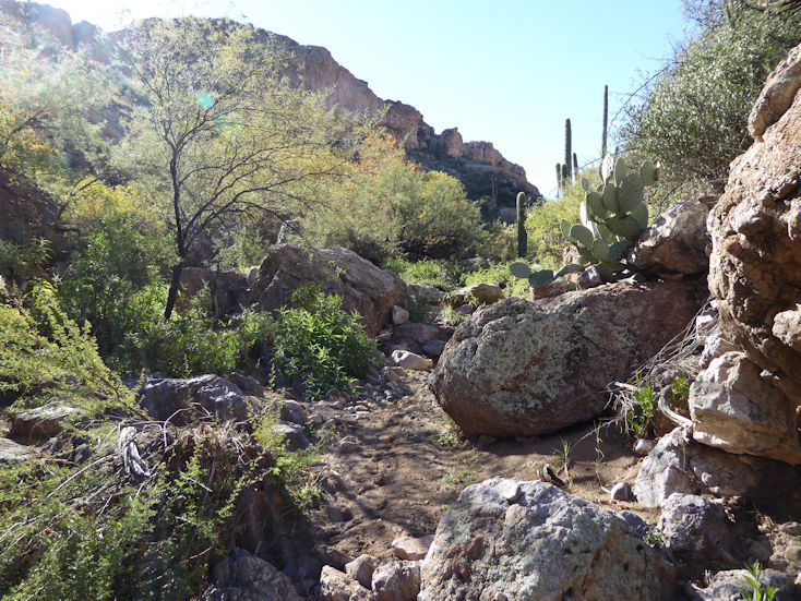
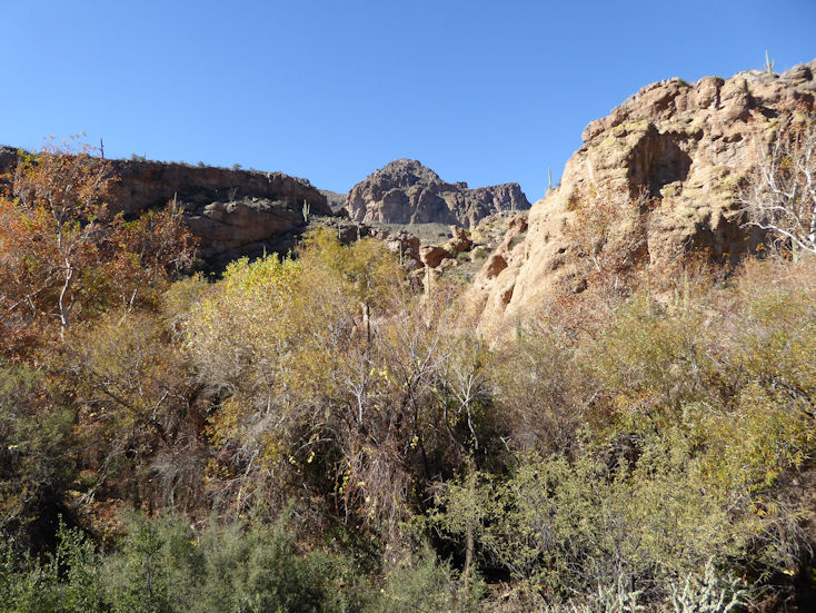
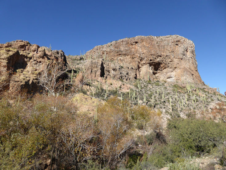
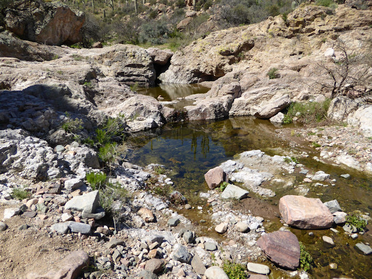
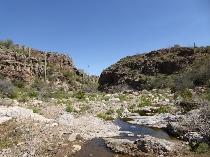
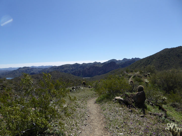
Oak Flat Trail
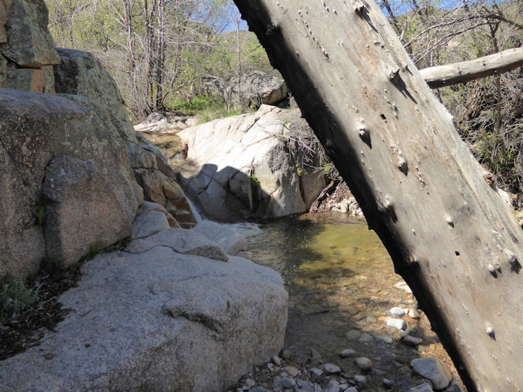
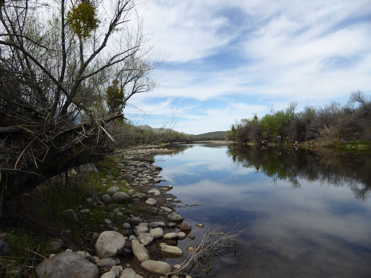
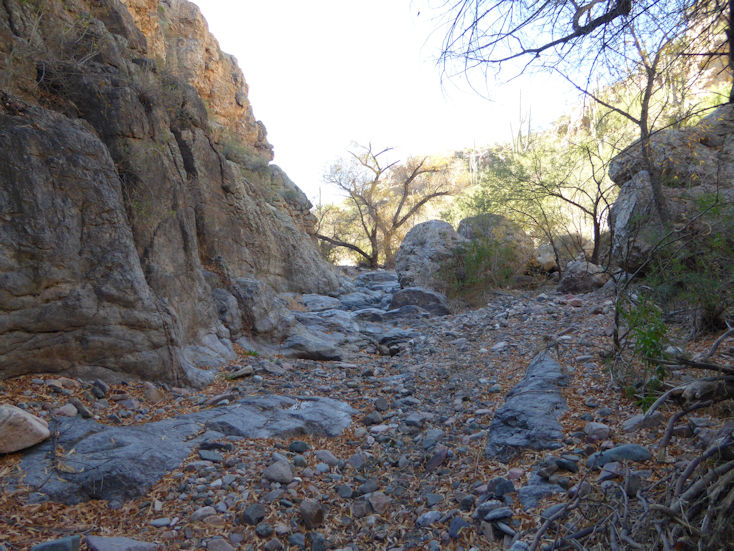
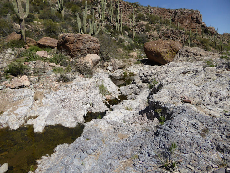
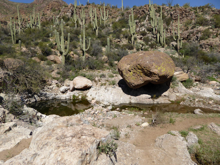
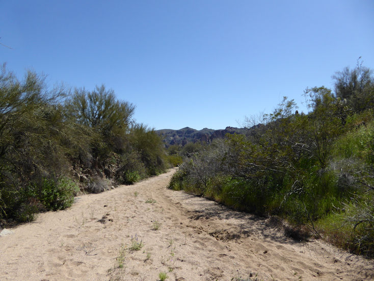
This creek is actually not on the Oak Flat Trail, but is found up the hill a ways from the trail head.
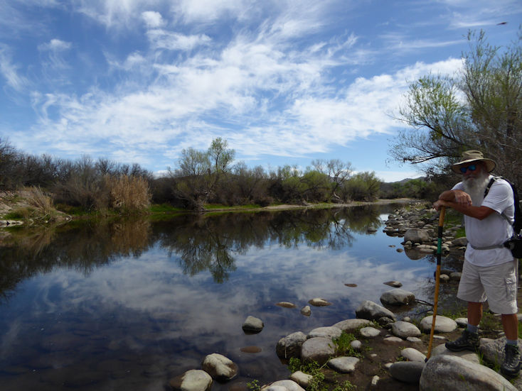
Ditto
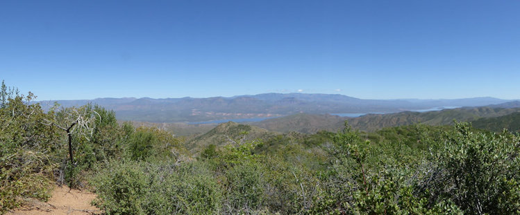
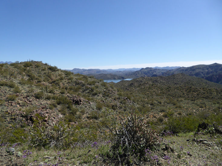
A view of Roosevelt Lake
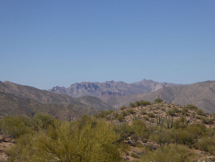
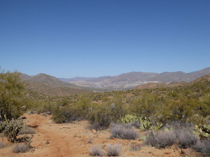
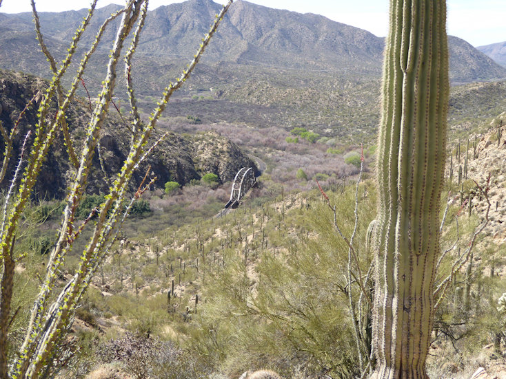
Arizona Trail West of Kelvin/Riverside
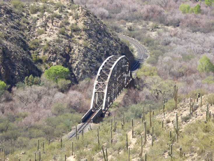
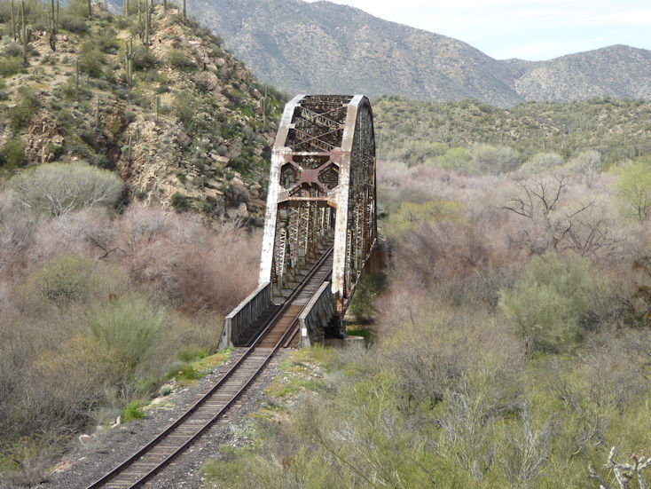
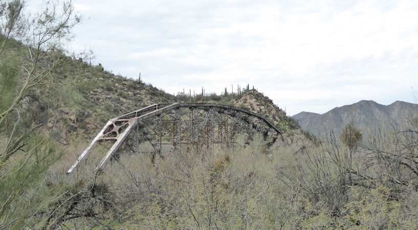
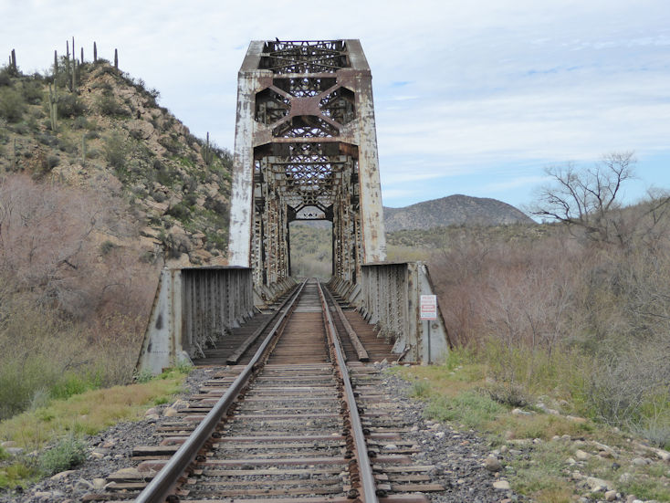
This piece of the Arizona Trail, is Passage 16. The trailhead is just west of the Kelvin-Riverside bridge over the Gila River. This complete passage of the Arizona Trail is divided into two sections; the first is the Gila River section which is 16 miles long and then heads North near Cochran to a section called the "Canyons" which is 9 plus miles. It then connects with Passage 17 that is called Alamo Canyon and ends at the Picketpost Trailhead.
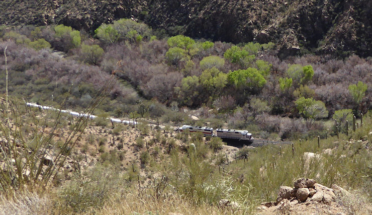
This is a small train owned and operated by the Kelvin-Sultana copper mine.
This is referred to as the "Golden Spike" of the Arizona Trail. It marks the historic location where the last mile of the Arizona Trail was officially completed in 2012.
This crested and the following one were found on our 2nd hike where we went further down to the railroad bridge.
Greg and Rita with evidence of the mine in the background.
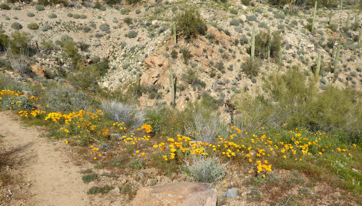
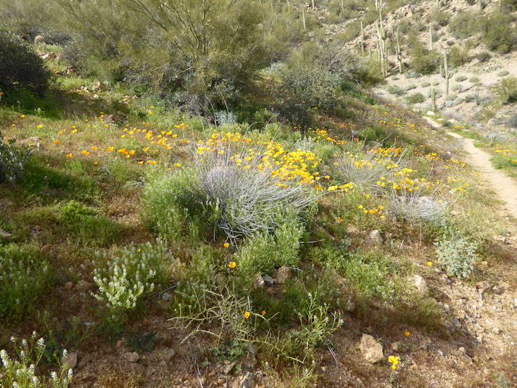
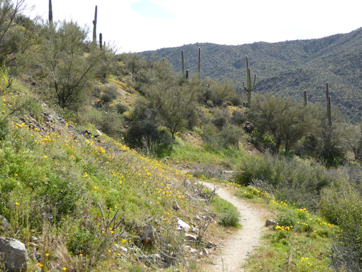
Mexican Gold Poppys in bloom
Ditto
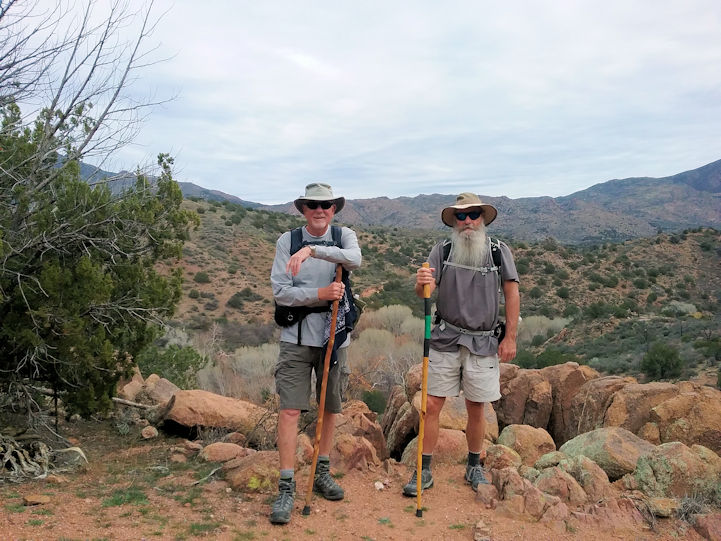
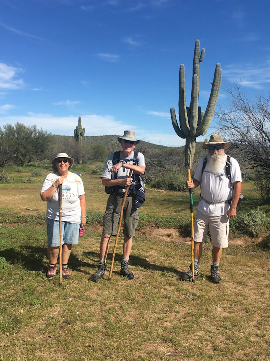
Pete and Greg
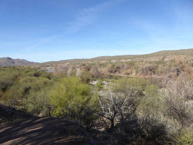
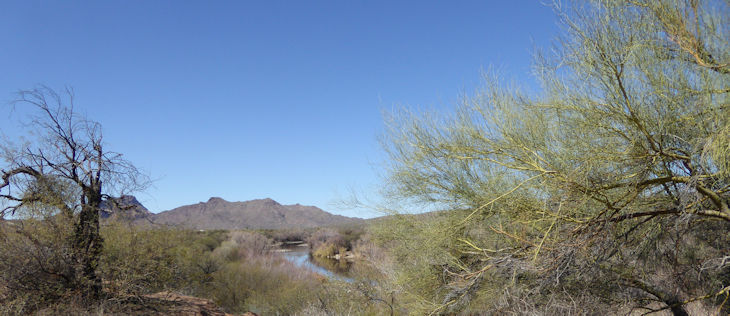
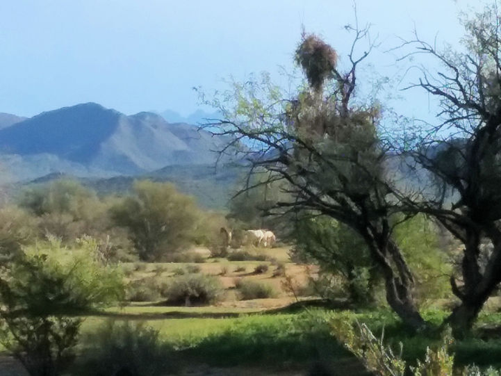
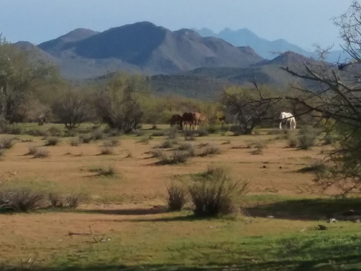
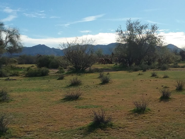
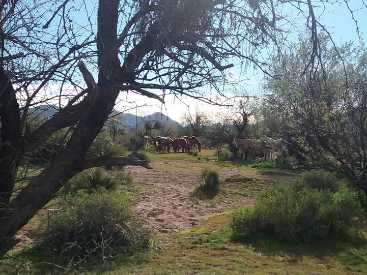
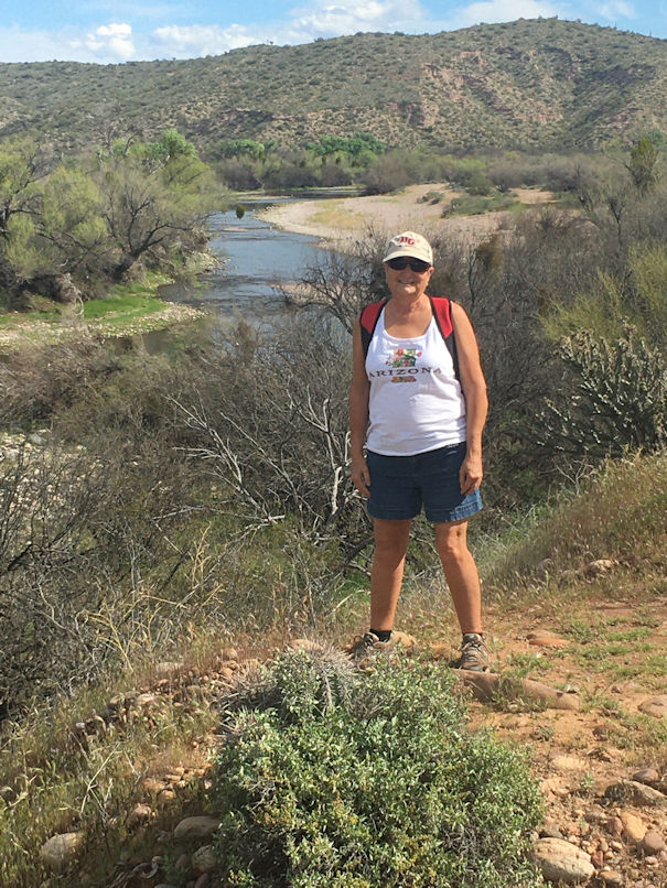
Coon Bluff
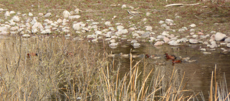
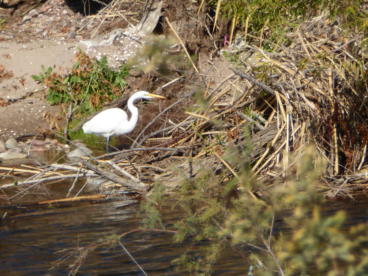
Great Egret
Greg
Janet
Rita, Pete, and Greg
Pete, Greg, and Rita
Forest Road Number 4
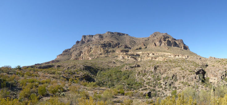
View of Picketpost Mountain from the East side.
Telegraph Canyon
Greg and Rita during our lunch break.
Goldfield Oven
The first part of this 7.3 mile loop hike starts at the Blue Point Recreation Site on the Bush Highway. It follows the north side of the Lower Salt River and then takes off into a 3+ mile wash where you come across the Goldfield Oven the hike is named for, and then into the hills near Stewart Mountain above the Saguaro Lake and into another wash and eventually crosses under the Bush Highway and then leads you to the Water Users Trailhead. From there it works its way back across the Bush Highway and eventually back to the Blue Point Recreation Site.
Great Blue Heron
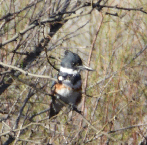
Female Belted Kingfisher (nice catch Rita!)
The trail takes off away from the river into this wash for the next 3 miles. It was part of the Heber-Reno Sheep Driveway. . .
The top of the Goldfield Oven
Closer view of the top. . .
Rita's taking a break in front of the bottom opening into the oven. Notice the rockwork above just below the top.
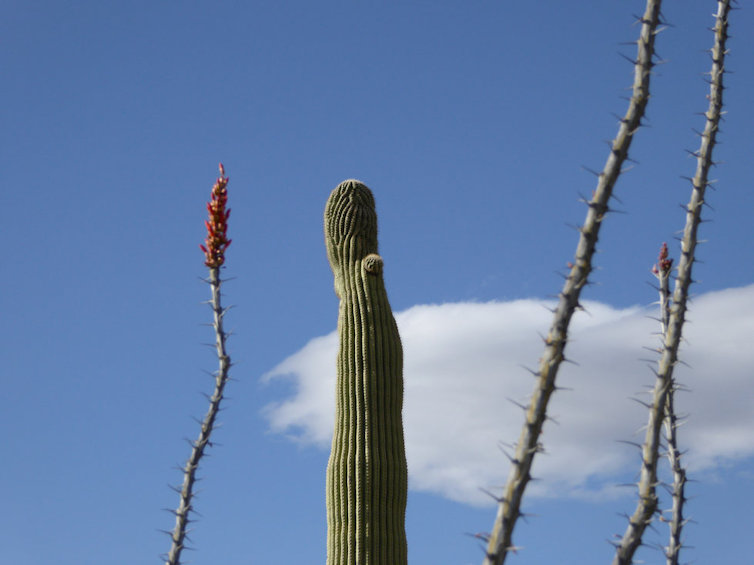
Ocitilla finally a "greened out" and starting to bloom at the top.
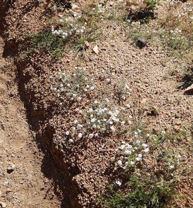
Baby Aster?
Myrtle?
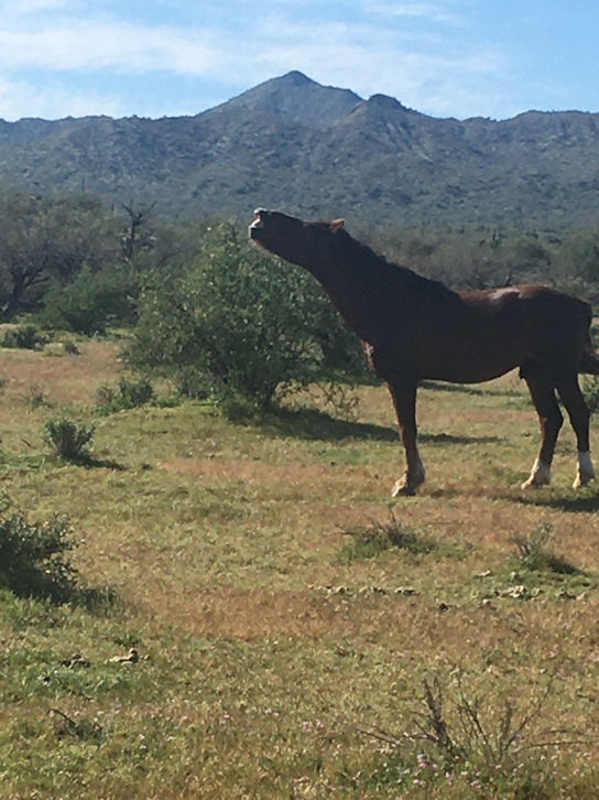
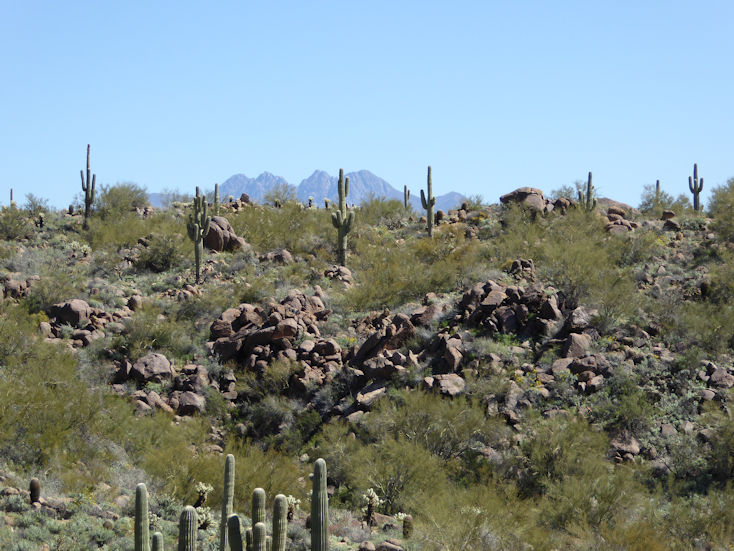
Yep; that's Four Peaks in the backround. . .(thanks Greg for that shot idea. . .)
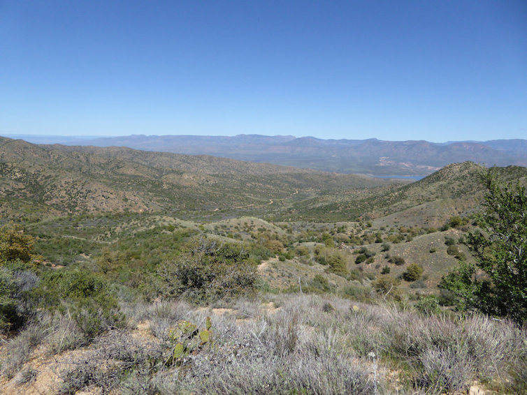
That's a piece of Sauguaro lake in the distance. . .
A piece of Saguaro Lake in the far left. In the far center is a sliver of the Bush Highway. . .
Horsethief Wash heading down to the Bush Highway
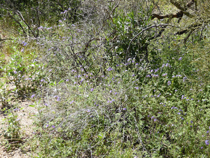
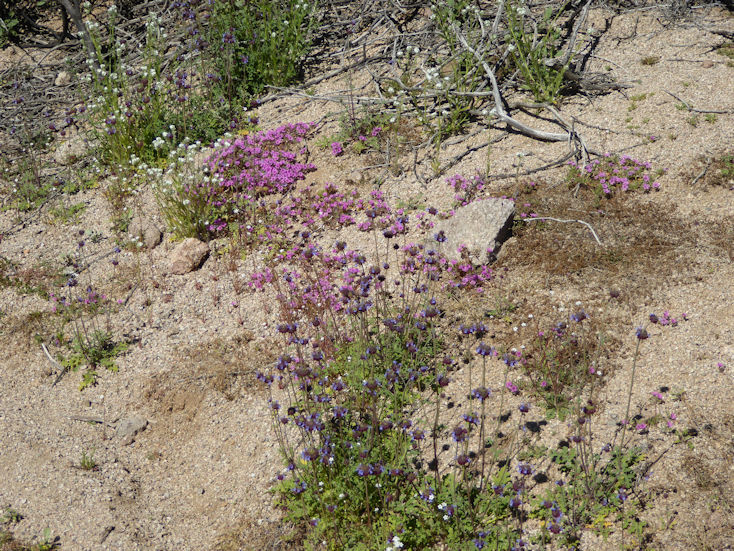
Purple Mat?
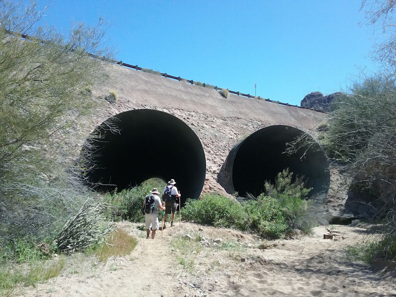
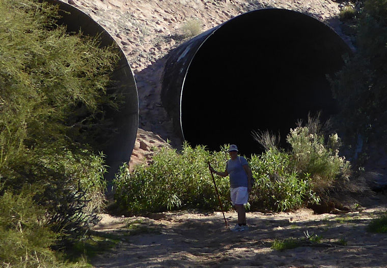
Greg and Pete heading into really large drainpipes that the trail takes under the Bush Highway.
Greg
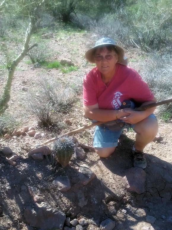
Rita with a baby Saguaro. We will have to check out its size next time on this trail. . .
Male Phainopepla
Palmer's Indian Mallow?
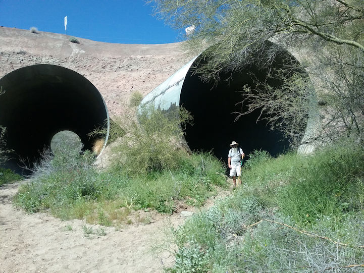
Janet by the giant culverts (2019-2020 season). This was the second time hiking this trail and probably our last. Hiking for several miles within the soft sand in a wash is just not fun.