| Last Modified 2026-02-06 |
|
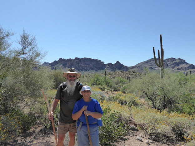
Arizona Hiking 2
|
| |
|
| |
|
| |
|
| |
|
| |
|
| |
|
| |
|
| |
|
| |
|
| |
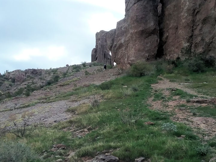
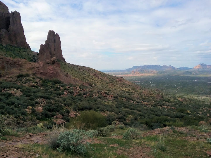
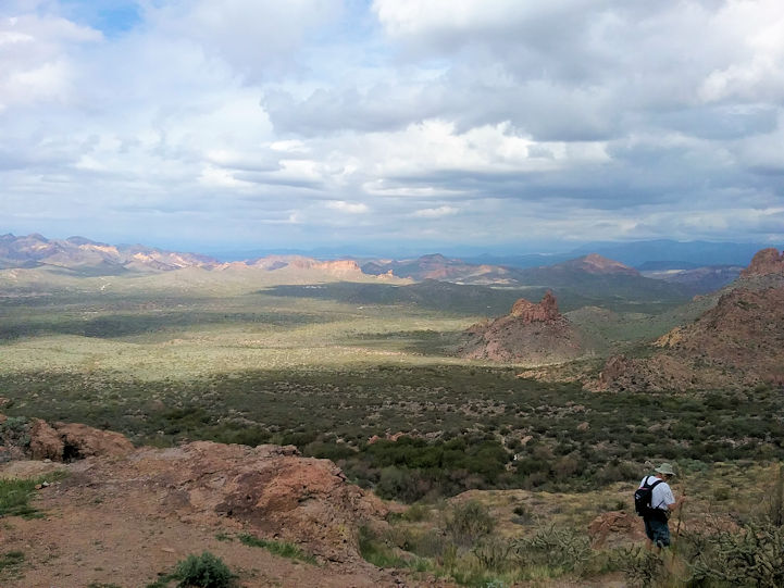
Dan's Trail |
| |
|
| |
 |
| |
|
| |
 |
| |
|
| |
 |
| |
|
| |
 |
| |
|
| |
  |
| |
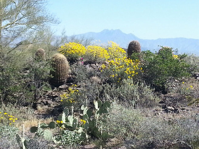
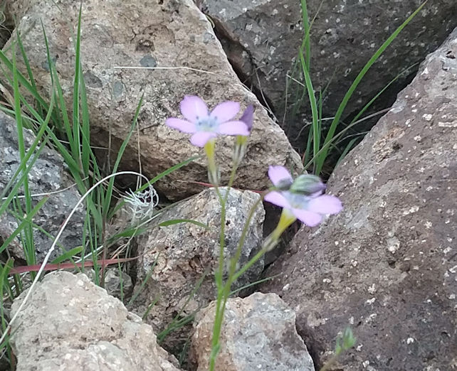
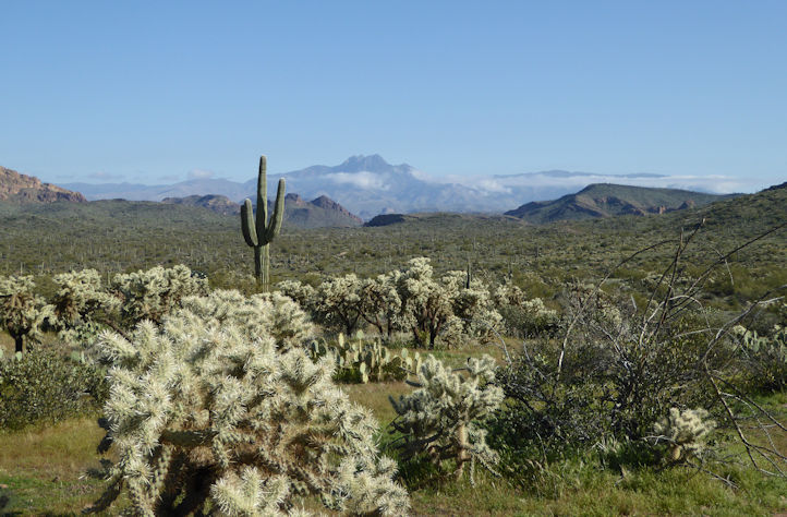
Some desert blooms (in March) with Superstions in the background . . . |
| |
|
| |
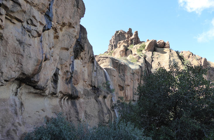
Silverlock Prospect (No Name Trail) |
| |
|
| |
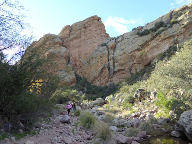
We used to call this trail "No Name" until we discovered it's real name is Silverlock Prospect. It can be accessed from the First Water Road end of the Jacobs Crosscut Trail, or from the first small parking area on the right off of First Water Road (this road is the first right you can take on Highway 88 after passing the entrance to the Lost Duchman State Park).
The unmarked trail goes straight up the hill (south) from either of the two accesses mention above. It is just under two miles one-way all the way up to the top where there are unique rock formations to explore. It's a fairly gentle climb to the top, but is rather rocky. |
|
| |
|
| |
 |
| |
View towards Four Peaks |
| |
|
| |
 |
| |
Ditto |
| |
|
| |
 |
| |
You just can't resist climbing through this divide in the rocks (second childhood is as much fun as the first) |
| |
|
| |
 |
| |
|
| |
 |
| |
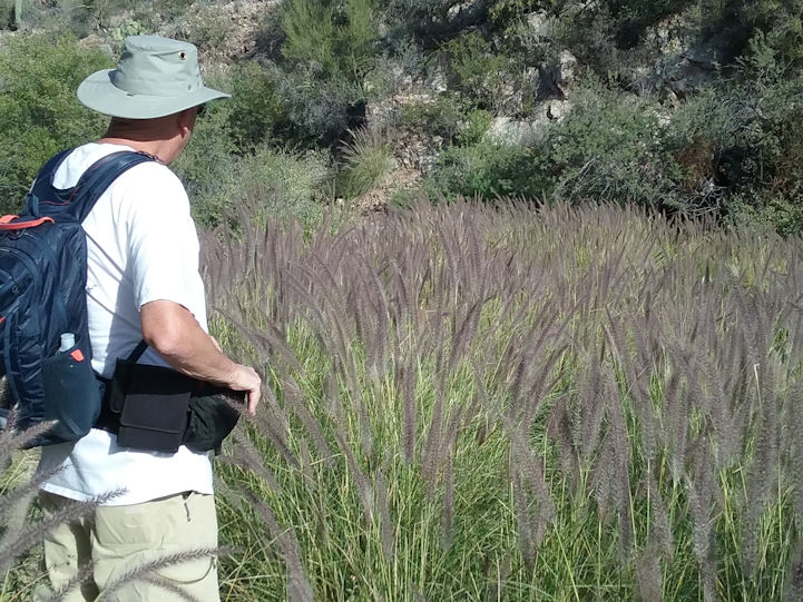
A bush we see on a few trails - turns out is not a bush; it's a Sugar Sumac tree. |
| |
|
| |
 |
| |
Feels good to get the pack off for a break. . . |
| |
|
| |
 |
| |
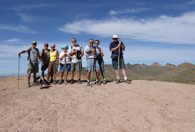
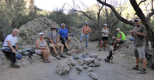
Clyde, Darlene, Bill, and Jo-Ann (with Willa) |
| |
|
| |
 |
| |
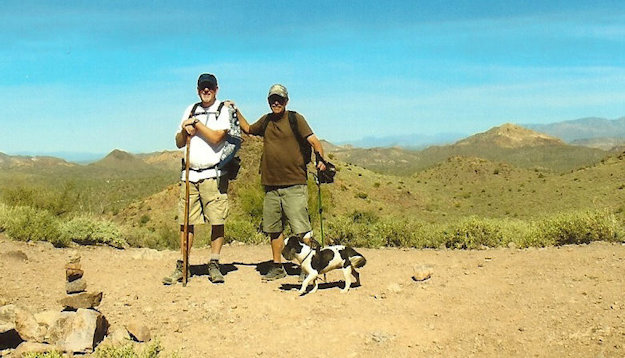
Clyde with Willa, Bill, Jo-Ann, and Pete |
| |
|
| |
 |
| |
|
| |
 |
| |
|
| |
 |
| |
|
| |
 |
| |
|
| |
The following photos by Rita were taken in the 2018-2019 season: |
| |
 |
| |
|
| |
 |
| |
|
| |
 |
| |
|
| |
 |
| |
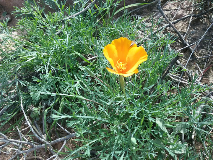
Mexican Gold Poppy |
| |
|
| |
 |
| |
Shot from the top with a Black Throated Sparrow in the foreground. . . |
| |
|
| |
 |
| |
Broad-Leaved Gilia |
| |
|
| |
 |
| |
The hiker gives this shot perspective. . . |
| |
|
| |
 |
| |
|
| |
 |
| |
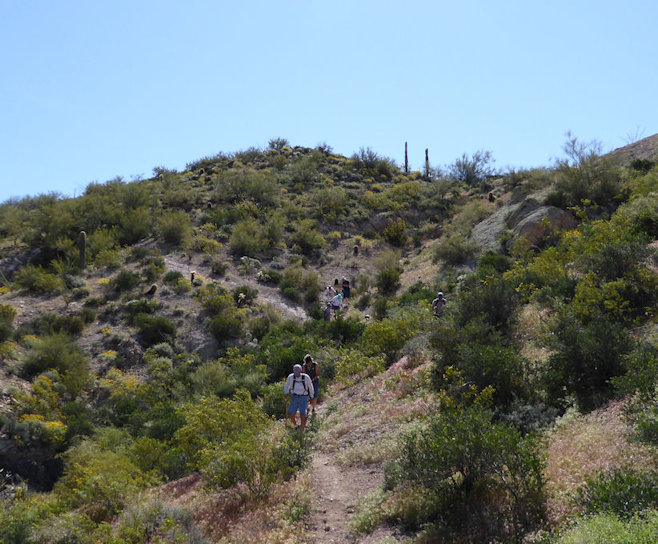
Pete is starting the trail back down. . . |
| |
|
| |
 |
| |
A male Curve-Billed Thrasher who normally has a very sharp and loud "whit-wee" whistle, but in this case was singing a soft song that they do when courting a female. |
|
| |
|
| |
 |
| |
A nice view of Four Peaks from the top of this trail. . . |
| |
|
| |
 |
| |
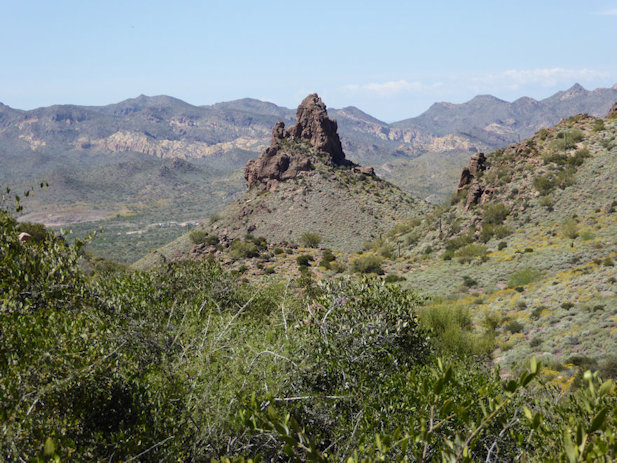
A different view from the top of this trail. The Massacre Grounds trail goes just behind that hill with a spire in the center of this shot. . . |
| |
|
| |
Dutchman's Trail #104 (from First Water Trail Head end) |
| |
|
| |
 |
| |
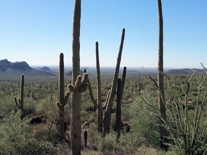
This trail has some different looking rock formations |
| |
|
| |
 |
| |
|
| |
 |
| |
|
| |
 |
| |
A view of Weavers Needle from the East side. |
| |
|
| |
 |
| |
Weavers Needle |
| |
|
| |
 |
| |
|
| |
 |
| |
|
| |
 |
| |
|
| |
 |
| |
|
| |
 |
| |
|
| |
 |
| |
Rita showing us a barrel cactus with an unusual shape and size. . . |
| |
|
| |
 |
| |
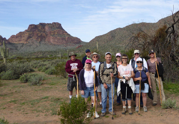
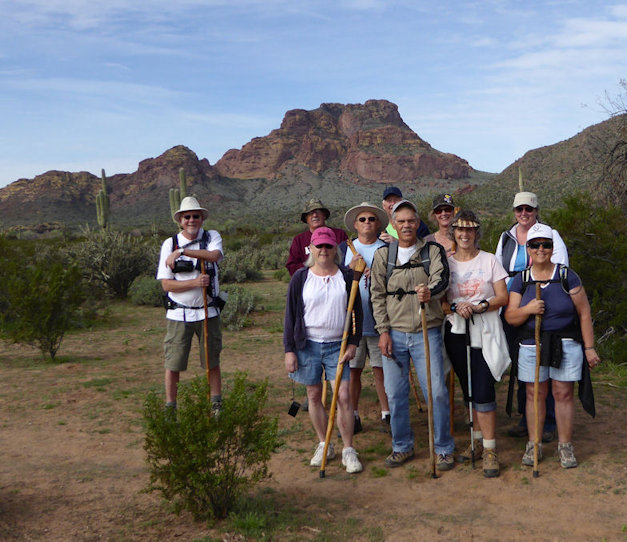
Greg, Con, Sharie, and Rita 2018-2019 Season |
| |
|
| |
 |
| |
Four Peaks in the distance. . . |
| |
|
| |
The following 6 photos are from the 2019-2020 season where we hiked a few days after a rain and saw more water than ever before. |
| |
|
| |
 |
| |
|
| |
 |
| |
|
| |
 |
| |
|
| |
 |
| |
|
| |
 |
| |
|
| |
 |
| |
|
| |
Dutchman's Trail #104 (East from Piralta Trail Head end) |
| |
|
| |
 |
| |
|
| |
 |
| |
The above photo of Greg and Rita is from the 2015-2016 season. |
| |
|
| |
 |
| |
|
| |
 |
| |
The above photo is from the 2016-2017 season. |
| |
|
| |
 |
| |
|
| |
 |
| |
A Western Diamondback on the trail. |
| |
|
| |
 |
| |
|
| |
 |
| |
Pete checking out the grass that is higher than we've ever seen it before. . . |
| |
|
| |
 |
| |
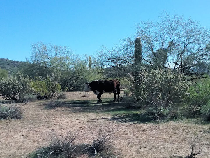
We took a fork off the trail that led us outside the Superstion Wilderness into a section that is leased for cattle grazing. . . |
| |
|
| |
Hackberry Spring (First Water Creek) |
| |
|
| |
 |
| |
This is a view up a side canyon off of First Water Creek. This canyon leads to a trail that returns to the "horse" parking lot. |
|
| |
|
| |
 |
| |
This is a view of First Water Creek (see dark green trees in middle of shot) from a trail on a hill way up above the creek. This trail can be accessed from the creek down in this canyon or from the canyon shown in the photo above this one. A trail which is primarily used by horseback riders (the trail is very rocky on the climb up and very, very steep down to the creek seen here). |
|
| |
|
| |
 |
| |
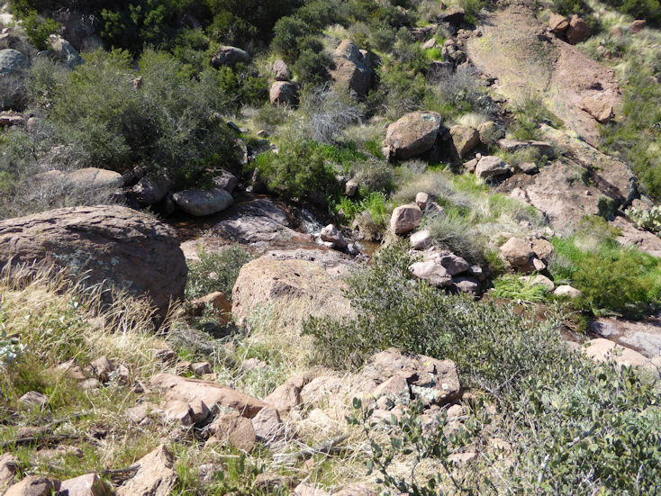
This and the following photos are all from First Water Creek that serves as the "trail" for the Hackberry Springs and other hikes. |
|
| |
|
| |
 |
| |
|
| |
 |
| |
Jo-Ann and Willa |
| |
|
| |
 |
| |
|
| |
 |
| |
|
| |
 |
| |
|
| |
 |
| |
|
| |
 |
| |
|
| |
 |
| |
|
| |
The following photo is from the 2016-2017 season: |
| |
 |
| |
|
| |
Massacre Grounds Trail |
| |
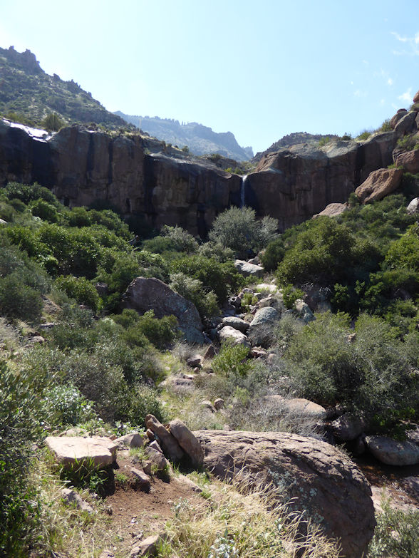
This hike is 6 1/2 miles round trip (a little farther if you take the short hike to the waterfall up at the top as well.) Most hiking books talk about access to the trail head from a road that no longer exists. The trail from that trail head was around two miles shorter round trip.
To access it today, drive down First Water Road (first right after the entrance to the Lost Dutchman State Park off Highway 88 east of Apache Junction) to the second (and largest) pull-out for parking on your right. The trail starts through an open gate in the fence on the East side of that parking lot.
The elevation gain is +970 feet spread across the 3 1/4 miles to the top (a fairly gradual, but persistent climb). |
| |
|
| |
 |
| |
Pete, Clyde, and Willa |
| |
|
| |
 |
| |
|
| |
 |
| |
Four Peaks in the distance with clouds below the 7657 foot peak (2019-2020 season). |
| |
|
| |
 |
| |
We hiked this trail a couple of days after a rain and water was running close to the trail for a good portion of the hike (2019-2020 season). |
|
| |
|
| |
 |
| |
View of Four Peaks from the top of the Massacre Grounds Trail. |
| |
|
| |
 |
| |
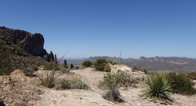
View to the West where we can see the Praying Hands near the Lost Dutchman State Park and the Goldfield Mountains farther out. |
|
| |
|
| |
The following shots by Rita were all taken from the top (end) of the trail: |
| |
 |
| |
We had some company for our lunch break at the top. . . |
| |
|
| |
 |
| |
View of Four Peaks in the distance. . . |
| |
|
| |
 |
| |
Southern view that includes the top of Weavers Needle |
| |
|
| |
 |
| |
Also a view to the south, and shows how high this cliff is that we're standing on. . . |
| |
|
| |
The following photos and videos were taken during the 2019-2020 season show the waterfall running heavier than we had ever seen before. |
|
| |
 |
| |
|
| |
 |
| |
|
| |
 |
| |
|
| |
Video 1 by Janet:  |
| |
Video 2 by Janet: |
| |
|
| |
Arizona Trail-Blue Ridge |
| |
|
| |
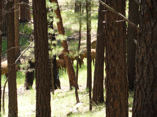
Some elk we saw along the Arizona Trail-Blue Ridge trail north of Strawberry in August. |
| |
 |
| |
|
| |
 |
| |
|
| |
 |
| |
|
| |
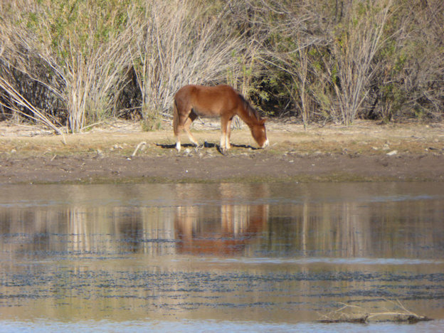
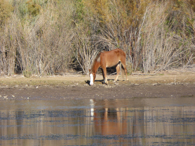
Lower Salt River |
| |
This hike starts at the restroom in the North-West corner of the Phon D Sutton Recreation Area parking lot which is found off of the Bush Highway (2nd road to the right going West from the 4-way stop sign at the intersection of Ellsworth Road & the Bush Highway). Note that a Tonto pass or the Lifetime Senior National Park Pass is required to park there.
Head west of the restroom, and take an immediate left. The trail meanders through the "un-desert-like" Riparian area close to the Salt River and eventually takes you past a fence line close to the river. The trail then follows that fence back to the restroom where you started. In December, 2025, we measured the trail at 2.64 miles. |
| |
The following are a couple of pics of what we assume is an eagle's nest along the Lower Salt River trail. |
| |
 |
| |
|
| |
 |
| |
|
| |
 |
| |
Red Mountain in the background. . . |
| |
|
| |
 |
| |
|
| |
 |
| |
|
| |
 |
| |
|
| |
 |
| |
|
| |
 |
| |
|
| |
The following photos were taken at the Granite Reef Recreation Area (just up the road to the west from Phon D Sutton Recreation Area). |
|
| |
 |
| |
|
| |
 |
| |
|
| |
 |
| |
|
| |
 |
| |
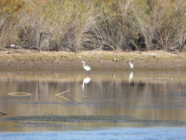
Great Egret |
| |
|
| |
 |
| |
|
| |
 |
| |
Yep, that's Bill. . . |
| |
|
| |
 |
| |
Road Runner. . . |
| |
|
| |
 |
| |
Janet |
| |
 |
| |
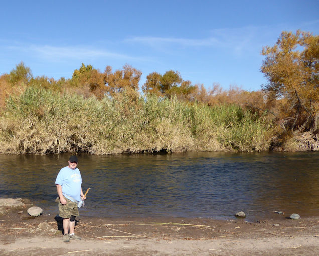
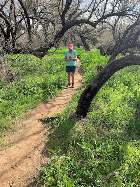
Dan
Notice the height of bushes compared to the photo above with Janet. The difference is a result of rain everyday for nearly a week shortly before our hike in December 2025. |
| |
 |
| |
Dan |