| Last Modified 2026-01-07 |
|
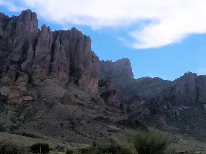
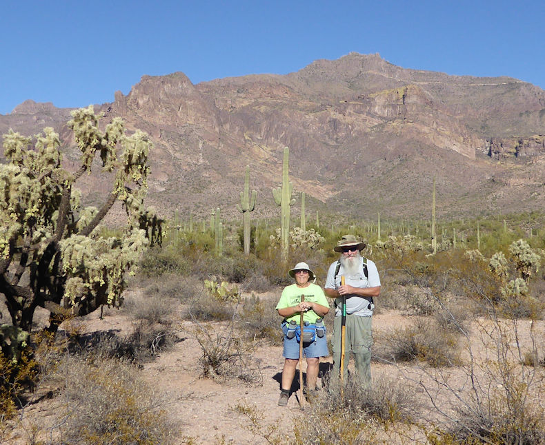
Arizona Hiking 1
|
| |
|
| |
|
| |
|
| |
|
| |
|
| |
|
| |
|
| |
|
| |
|
| |
|
| |
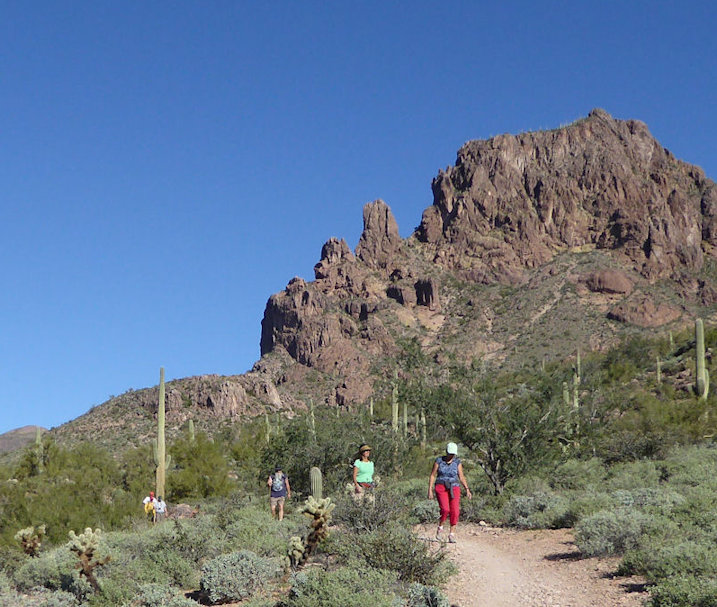
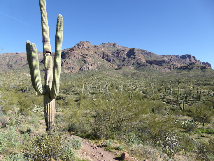
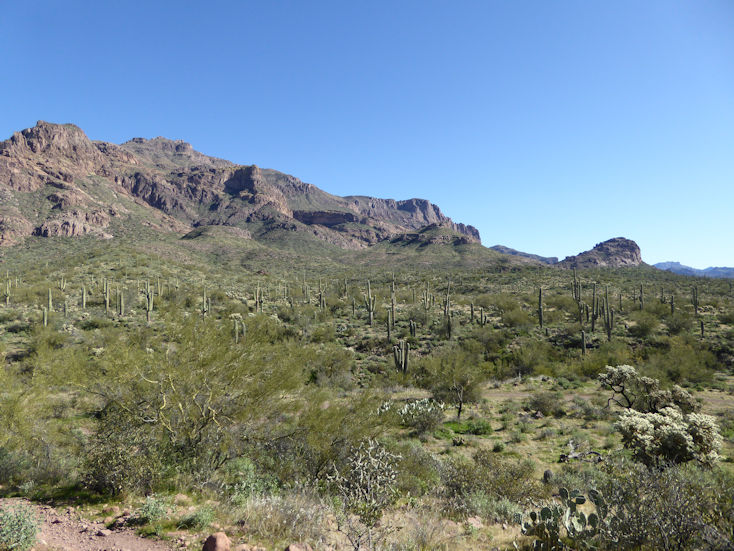
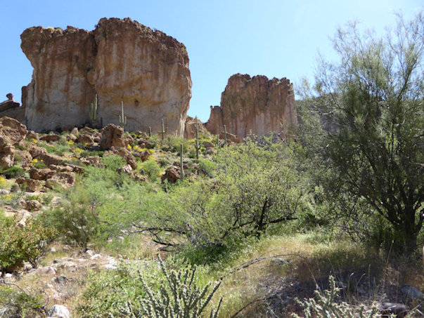
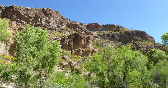
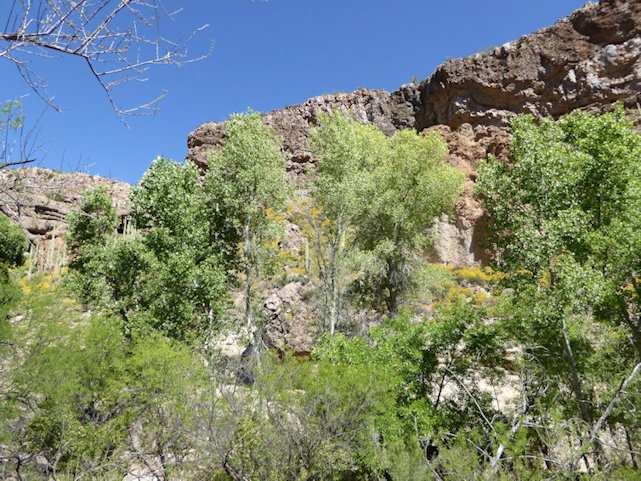
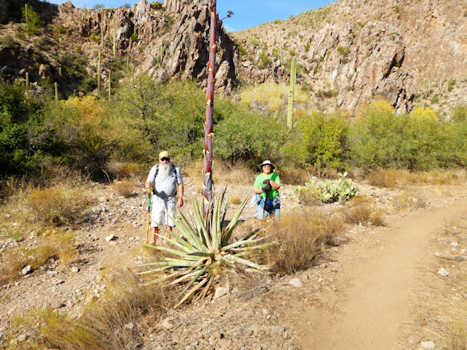
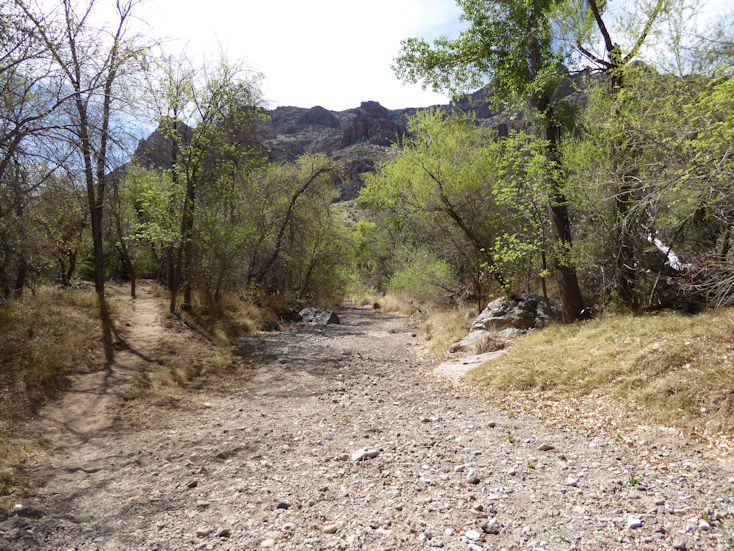
Garden Valley loop trail |
| |
|
| |
 |
| |
|
| |
 |
| |
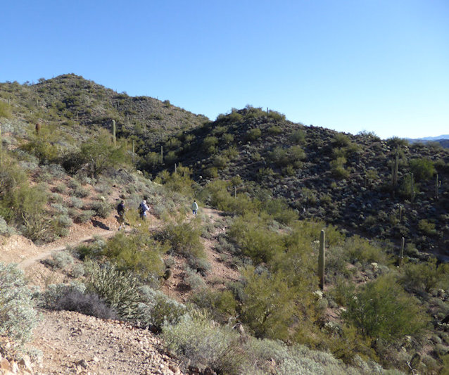
Look closely and you can see a group of hikers just above a cliff near upper center of photo |
| |
|
| |
 |
| |
|
| |
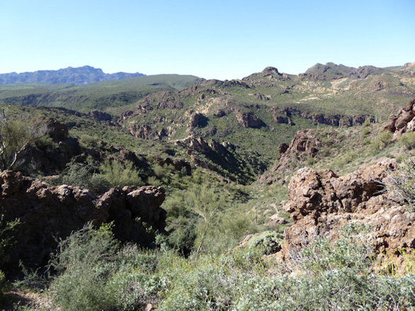
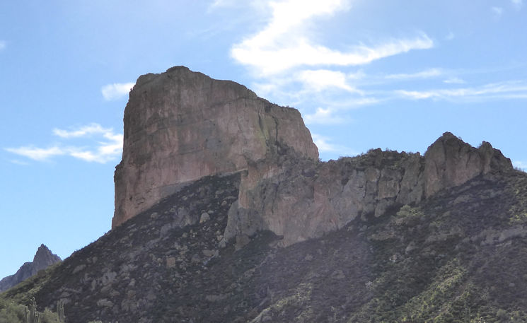
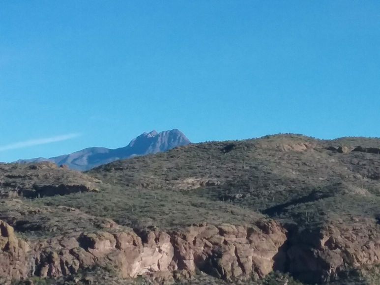
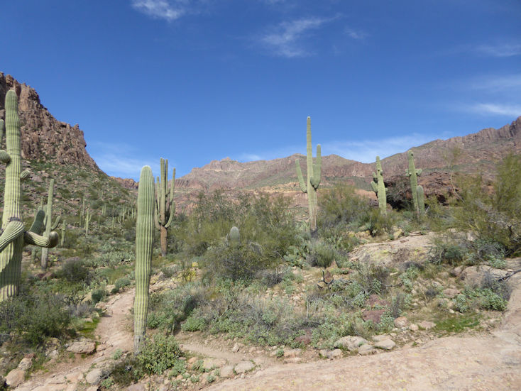
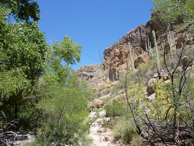
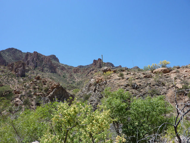
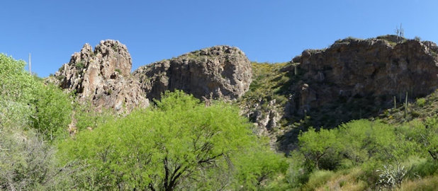
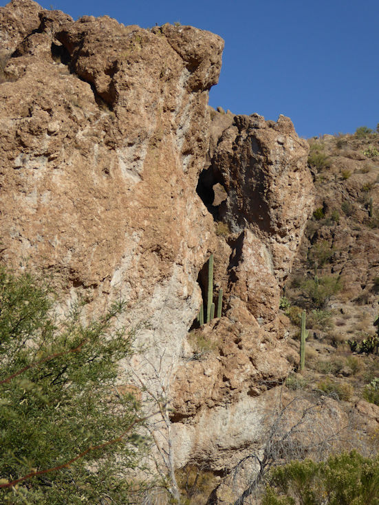
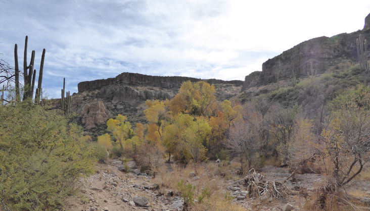
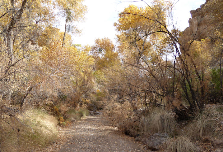
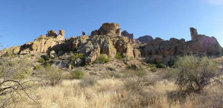
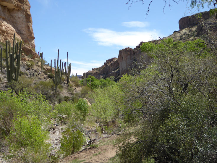
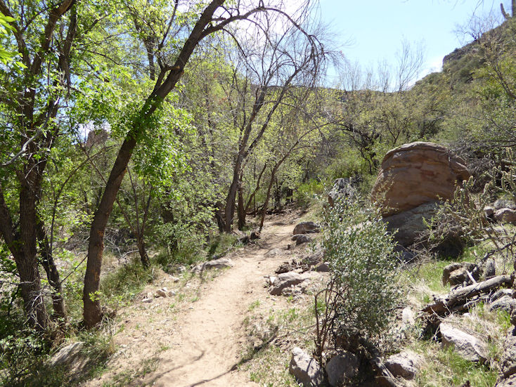
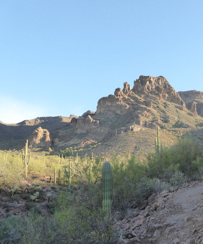
Boulder Canyon Trail #103 |
| |
|
| |
 |
| |
|
| |
 |
| |
|
| |
 |
| |
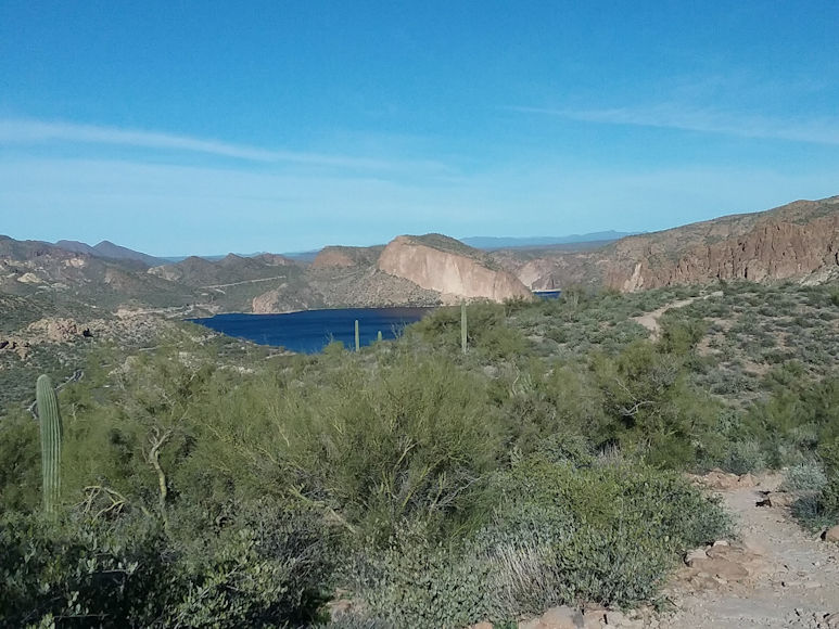
View of Canyon Lake Marina where this Boulder Canyon trail starts (about 900 feet lower than this point) |
| |
|
| |
 |
| |
|
| |
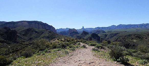
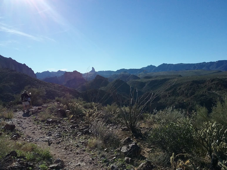
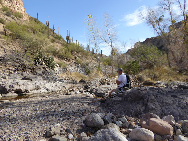
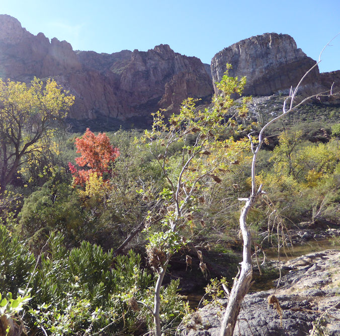
The following six photos were taken during the 2017-2018 season where we went further on this trail than ever before. . . |
|
| |
|
| |
 |
| |
|
| |
 |
| |
|
| |
 |
| |
|
| |
 |
| |
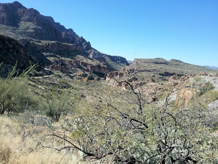
This view is to the South and somewhere to the right of that canyon below is where the Second Water trail meets this Boulder Canyon trail. |
|
| |
|
| |
 |
| |
|
| |
 |
| |
Rita enjoying the view. . . |
| |
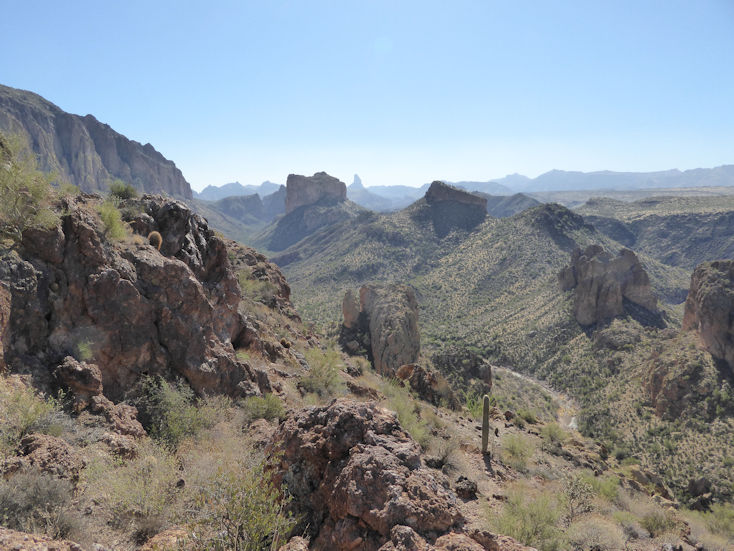
The following photos were taken during the 2018-2019 season where we hiked the Boulder Canyon Trail (103) starting at the Canyon Lake Marina to the intersection with the Second Water Trail (236) and then hiked it all the way up to and across Garden Valley and then down to the First Water Trailhead (near the Lost Duchman State Park). My phone app measured the total distance at 8.93 miles. |
|
| |
|
| |
 |
| |
That's Battleship Mountain in the center and La Barge Creek at the bottom of Boulder Canyon. We found the Second Water Trail across the creek and up-close and to the right of Battleship Mountain. |
|
| |
|
| |
 |
| |
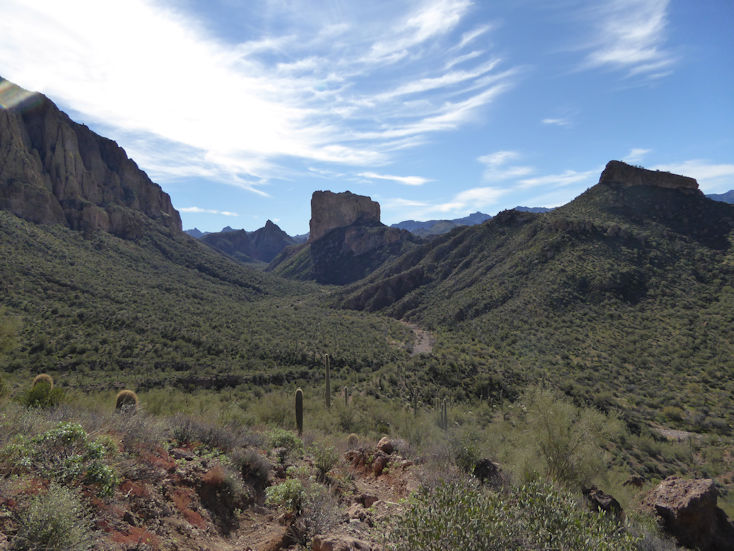
Closer to Battleship Mountain. . . |
| |
|
| |
  |
| |
|
| |
 |
| |
Canyon Lake where the trail started (approx. 900 feet lower than this point) |
| |
|
| |
 |
| |
Greg is scoping out the view down Boulder Canyon. That's Weavers Needle in the distance. . . |
| |
|
| |
 |
| |
Another view of Boulder Canyon, La Barge Creek, and Battleship Mountain |
| |
|
| |
 |
| |
Still on the 103 trail heading for Battleship Mountain. . . |
| |
|
| |
 |
| |
|
| |
 |
| |
Greg has that look, like: "really?" |
| |
|
| |
 |
| |
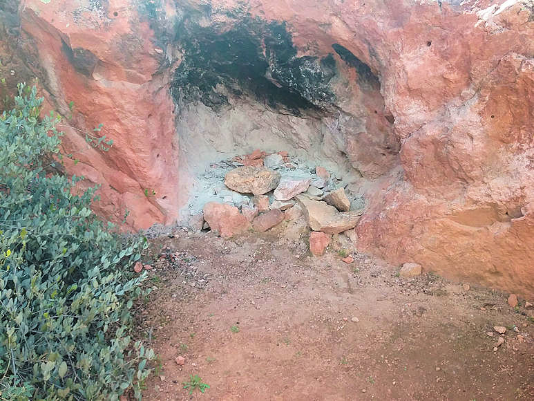
Remnants of small building just off of the 103 trail. . . |
| |
|
| |
 |
| |
A "fireplace" close to the above building remains. . . |
| |
|
| |
 |
| |
Pete in the "jungle". Hard to believe a spot like this is in the Sonoran Desert. The Second Water Trail cut through this spot which was near the Second Water Creek. |
|
| |
|
| |
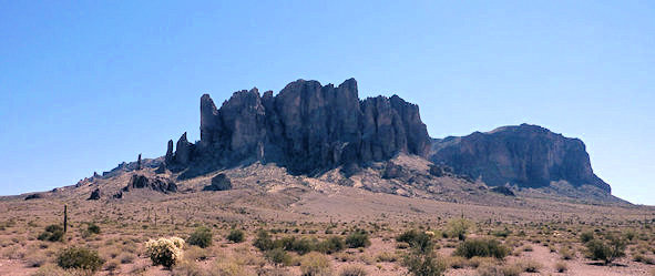
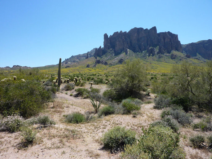
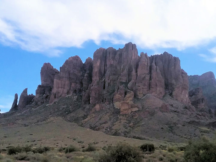
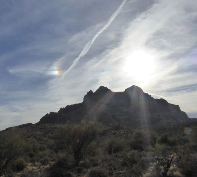
Superstition Mountains from Various Locations outsite of the Lost Dutchman State Park |
| |
|
| |
 |
| |
|
| |
 |
| |
|
| |
 |
| |
Yep, that's George. |
| |
|
| |
 |
| |
|
| |
 |
| |
|
| |
 |
| |
|
| |
 |
| |
|
| |
 |
| |
|
| |
 |
| |
|
| |
 |
| |
|
| |
 |
| |
|
| |
 |
| |
|
| |
 |
| |
|
| |
 |
| |
|
| |
 |
| |
|
| |
 |
| |
Early morning shot that provides more detail than many of the above photos. . . |
| |
|
| |
Boyce Thompson Arboretum |
| |
|
| |
 |
| |
View to the South from the Boyce Thompson Arboretum trail |
| |
|
| |
 |
| |
|
| |
 |
| |
A view of Picketpost Mountain from Boyce Thompson. |
| |
|
| |
 |
| |
|
| |
 |
| |
|
| |
 |
| |
|
| |
 |
| |
|
| |
Lost Goldmine Trail |
| |
The Lost Goldmine Trail is 11 miles long and is accessible from 3 different trail heads.
The following photos were taken on the trail going west from the Peralta Road trail head for the Lost Goldmine Trail. |
| |
 |
| |
|
| |
 |
| |
|
| |
 |
| |
Rita and Nancy |
| |
|
| |
 |
| |
Hiking Group |
| |
|
| |
 |
| |
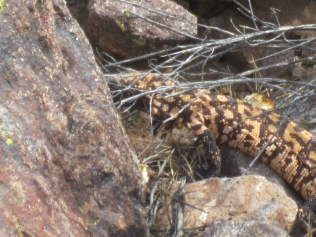
Gila Monster |
| |
|
| |
 |
| |
Ditto |
| |
|
| |
 |
| |
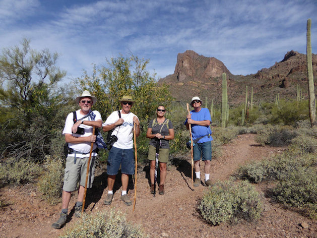
Pete, Jack, Dana, and John |
| |
|
| |
 |
| |
Janet, Jack, Dana, and John |
| |
|
| |
 |
| |
|
| |
 |
| |
|
| |
 |
| |
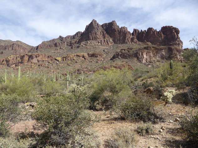
Called the "Three Sisters" The overhanging rock to the right of the Saguaro in the foreground covers the entrance to the "Wave Cave" (recent popular name; actual name is Apache Kid Cave). |
|
| |
|
| |
The following photos are of the Lost Goldmine Trail going east from the Hieroglyphics Trail head
Directions to the Trailhead:
Take Highway 60 to Kings Ranch Road in Gold Canyon:
- Right on Baseline
- Left on Mohican Road
- 3rd left on East Valleyview Drive
- 3rd right on East Cloudview Ave.
|
| |
 |
| |
|
| |
 |
| |
Ummvph! Thanks Clyde for holding that boulder up. . . |
| |
|
| |
 |
| |
Looks like this Saguaro started out become a Crested Saguaro, but went awry somehow. Maybe a broccoli top? |
|
| |
|
| |
 |
| |
Broccoli close-up |
| |
|
| |
 |
| |
In this light, this erode-created character looks somewhat like a cartoon Ostrich looking at us |
| |
|
| |
The following 7 photos are from the 2016-2017 season: |
| |
 |
| |
|
| |
 |
| |
|
| |
 |
| |
|
| |
 |
| |
|
| |
 |
| |
Lunch break. . . |
| |
|
| |
 |
| |
|
| |
 |
| |
|
| |
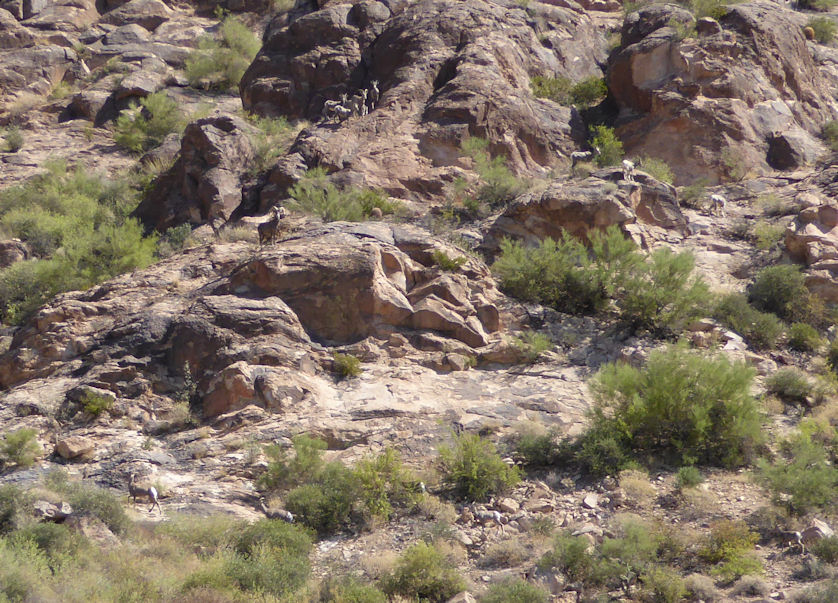
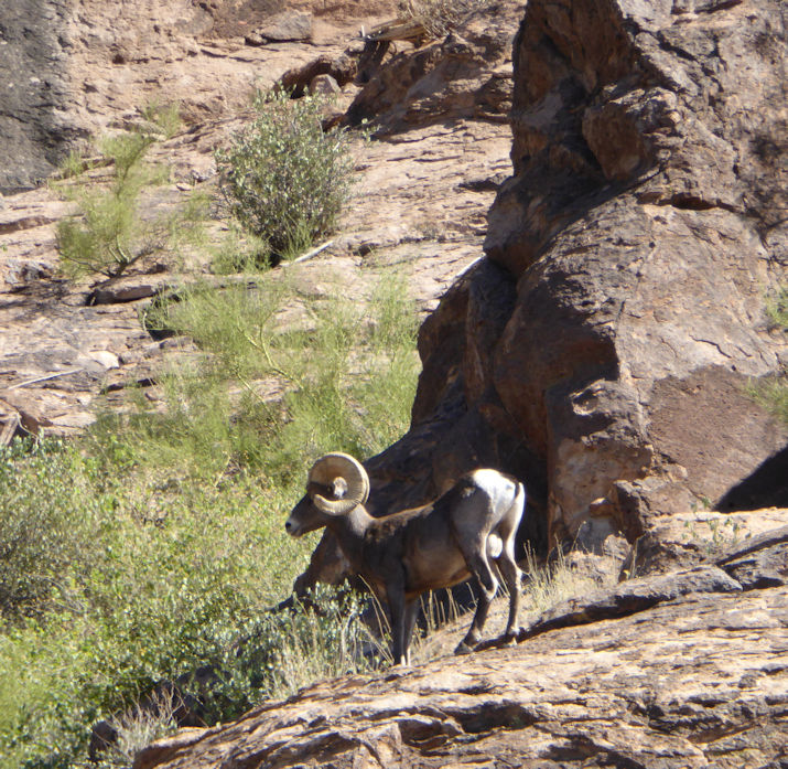
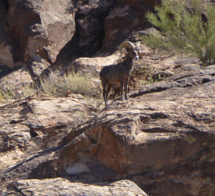
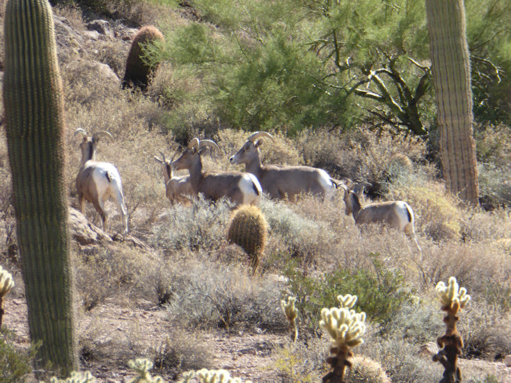
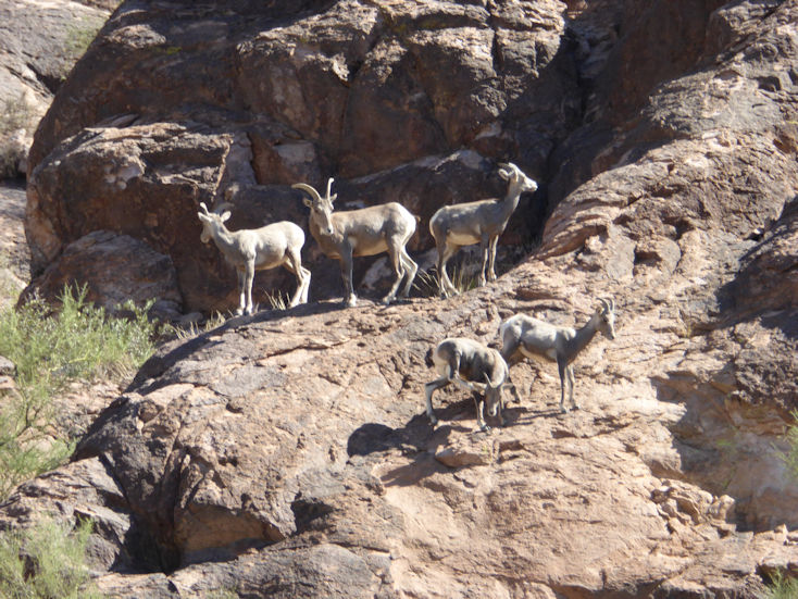
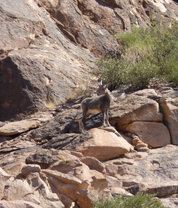
The following photos of Desert Bighorn Sheep were taken 2.43 miles east of the Hieroglyphics Trail head during the summer of 2017: |
| |
 |
| |
Look closely at the above photo and count how many Desert Bighorn Sheep you can find (hint: 12 out of the 16 total that I counted that day). See close-up shots of these and others in the following photos. Note that Desert Bighorn Sheep are close to the size of Mule Deer. |
|
| |
|
| |
 |
| |
This photo and the one below are of the single Ram in this herd. |
| |
|
| |
 |
| |
|
| |
 |
| |
|
| |
 |
| |
|
| |
 |
| |
|
| |
 |
| |
|
| |
 |
| |
|
| |
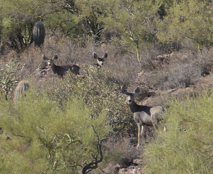
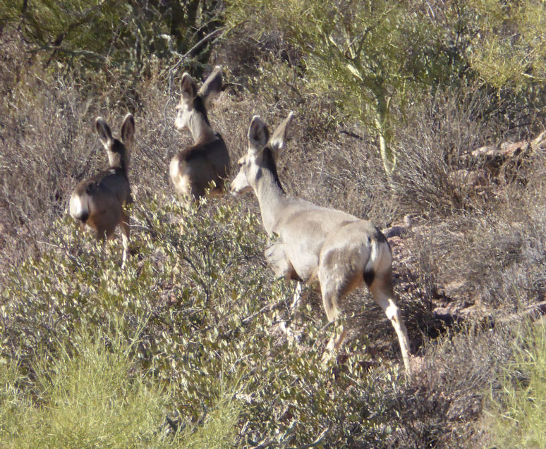
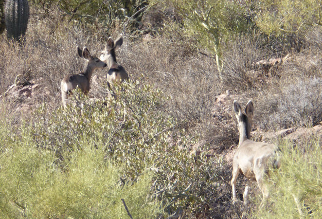
Speaking of Mule Deer, the following three photos were taken in December, 2017: |
| |
 |
| |
|
| |
 |
| |
|
| |
 |
| |
|
| |
 |
| |
Rita and Greg during the 2017-2018 season. This was taken on an "unauthorized" trail that connects to the Lost Goldmine trail. |
| |
|
| |
 |
| |
|
| |
 |
| |
|
| |
 |
| |
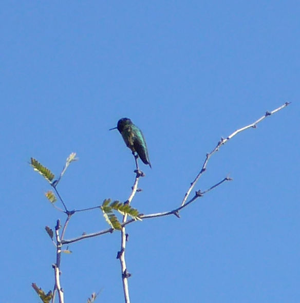
Costa's? Hummingbird |
| |
|
| |
 |
| |
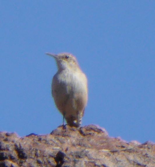
Based on this bird's song, I think it's a Canyon Wren even though it appears a little lighter color then the book shows. We've heard bird calls for years (described as a decending trill), but have never seen one before. |
|
| |
|
| |
 |
| |
Rita and Greg taking a lunch break. . . |
| |
|
| |
 |
| |
|
| |
 |
| |
Greg at a spot 3.23 miles from the parking lot. We hiked to this same spot from the Peralta end and measured that piece at 3.4 miles. |
| |
|
| |
 |
| |
See the face in the rock? |
| |
|
| |
The following photos were taken on the Lost Goldmine Trail going east from the Broadway trail head |
| |
 |
| |
|
| |
 |
| |
|
| |
 |
| |
|
| |
The following 2 photos are from the 2016-2017 season: |
| |
 |
| |
|
| |
 |
| |
|
| |
 |
| |
Nice view of the Flatiron from the south. . . |
| |
|
| |
Butcher Jones Trail |
| |
|
| |
 |
| |
Butcher Jones trail #463 around part of Saquaro Lake |
| |
|
| |
 |
| |
Shot over part of Saguaro Lake with Four Peaks in the background |
| |
|
| |
 |
| |
|
| |
 |
| |
|
| |
 |
| |
|
| |
 |
| |
|
| |
 |
| |
|
| |
 |
| |
Double-Crested Cormorant |
| |
|
| |
 |
| |
Garvin, Greg, Con, Sharie, and Julie |
| |
|
| |
Carney Springs Trail |
| |
 |
| |
View to the South (looking over Highway 60 in the distance) from the Carney Springs Trail. This trail crosses the Lost Goldmine Trail. |
|
| |
|
| |
 |
| |
View to the North from Carney Springs Trail. The Carney Springs "hike" ends up this canyon at the top of the first ridge, but the trail does continue into the Superstition Wilderness to connect to others, such as Superstition Ridgeline and Robbers Roost. |
|
| |
|
| |
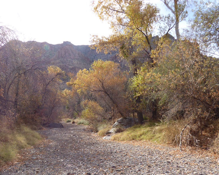
Arnett Canyon Trail |
| |
|
| |
 |
| |
Arnett Canyon trail - hard to believe this exists in the desert! |
| |
|
| |
 |
| |
A shot from the creek looking up at a part of the canyon wall peaking through the trees. |
| |
|
| |
 |
| |
|
| |
 |
| |
|
| |
 |
| |
|
| |
 |
| |
|
| |
The following two photos are from the 2016-2017 season: |
| |
 |
| |
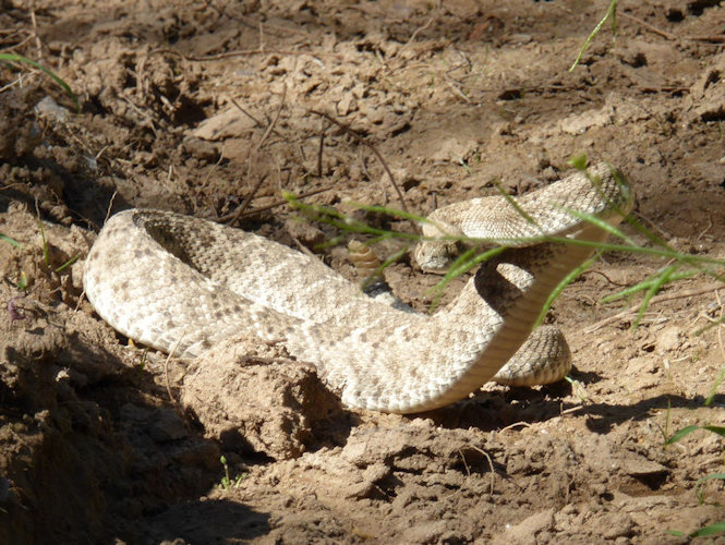
A Western Diamondback sunning on the trail |
| |
|
| |
 |
| |
|
| |
 |
| |
|
| |
 |
| |
|
| |
 |
| |
|
| |
 |
| |
|
| |
 |
| |
|
| |
 |
| |
Greg and Rita showing off an amazing Century Plant (look at the thickness of that stalk) in Arnett Canyon during the 2017-2018 season. |
|
| |
|
| |
The following photos show off Arnett Canyon from the West entrance (which took us years to find a way into). |
|
| |
 |
| |
|
| |
 |
| |
A sundog in Arizona at 65 degrees on the ground? This photo has the Picketpost Mountain in it at the beginning of a hike into Arnett Canyon (2017-2018 season). |
|
| |
|
| |
 |
| |
Photo taken in the Fall of the year. . . |
| |
|
| |
 |
| |
Same shot as the one above taken in the Spring of the year. . . |
| |
|
| |
 |
| |
|
| |
 |
| |
|
| |
 |
| |
|
| |
 |
| |
|
| |
 |
| |
Rita on the trail. . . |
| |
|
| |
 |
| |
|
| |
 |
| |
|
| |
 |
| |
Greg taking a lunch break by the creek. |
| |
|
| |
 |
| |
|
| |
 |
| |
|
| |
 |
| |
|
| |
 |
| |
|
| |
 |
| |
|
| |
 |
| |
That's Pete. . . |
| |
|
| |
  |
| |
If you look closely at the tree behind Rita, Greg, and Janet, you might see that someone has placed small Christmas Decorations on it. |
| |
|
| |
 |
| |
Rita, Greg, and Pete |
| |
|
| |
 |
| |
Janet, Rita, and Greg |
| |
|
| |
 |
| |
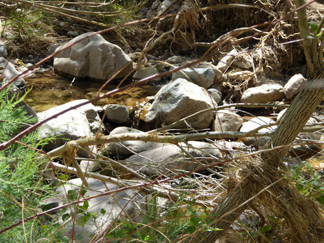
The most water we have seen in the canyon in the many years we have been hiking there. |
| |
|
| |
Check out the Video by Janet:  . . |
| |
|
| |
 |
| |
|
| |
 |
| |
Note the ubiquitous Weavers Needle in the background. . . |
| |
|
| |
 |
| |
|
| |
 |
| |
|
| |
 |
| |
|
| |
 |
| |
|
| |
 |
| |
A unique and creative cairn. . . |
| |
|
| |
 |
| |
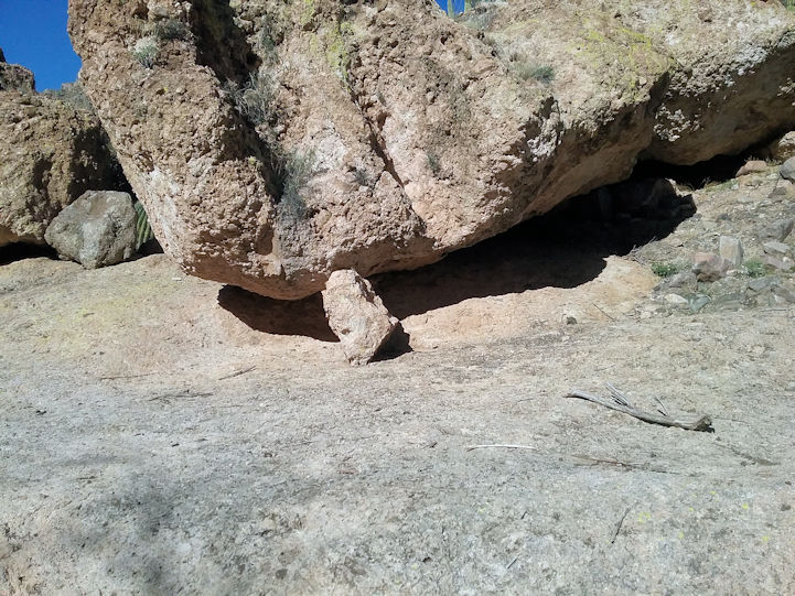
Could it be that the small rock is holding that massive boulder from sliding down? |
| |
|
| |
|
| |
|