| Last Modified 2019-12-18 |
|
Backroads 1
|
| |
|
|
|
|
|
|
|
|
|
| |
|
| |
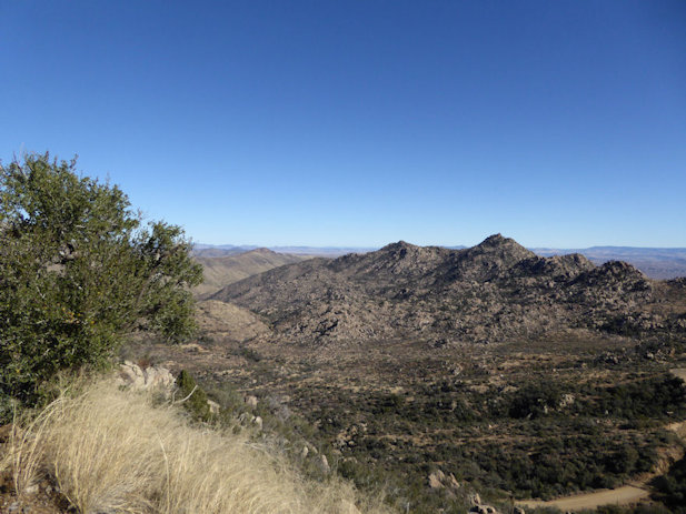
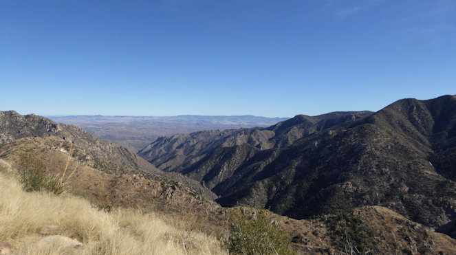
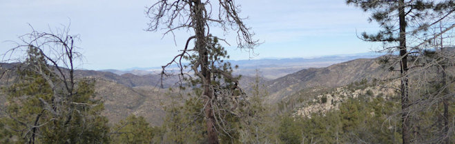
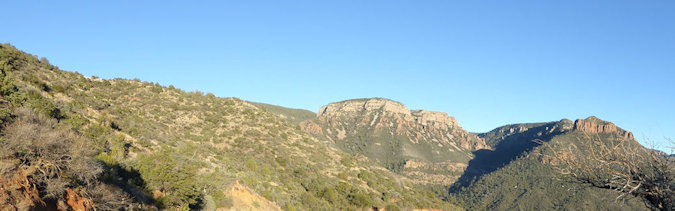
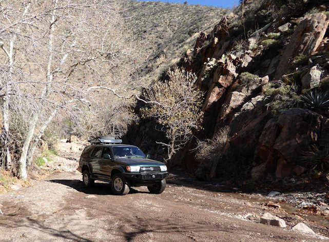
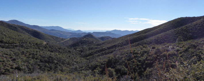
Crown King, AZ |
| |
|
| |
 |
| |
Leota, Bill, Jack, and Janet in Cleator on the way up the hill to Crown King |
| |
|
| |
 |
| |
Janet is taking in the Yaht and Boat Club in the back of the General Store |
| |
|
| |
 |
| |
Bill exploring this colorful find |
| |
|
| |
 |
| |
Bill and Leota imagining the water that should go with this scene |
| |
|
| |
 |
| |
Bill and Leota checking out a skidoo |
| |
|
| |
 |
| |
|
| |
 |
| |
|
| |
 |
| |
Bill, Leota, and Jack at a lunch stop |
| |
|
| |
 |
| |
|
| |
 |
| |
|
| |
 |
| |
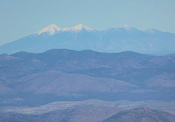
View of the San Francisco Peaks from near Crown King (30 x zoom and about 100 miles away) |
| |
|
| |
Young, AZ |
| |
|
| |
 |
| |
|
| |
 |
| |
|
| |
 |
| |
|
| |
 |
| |
|
| |
 |
| |
|
| |
 |
| |
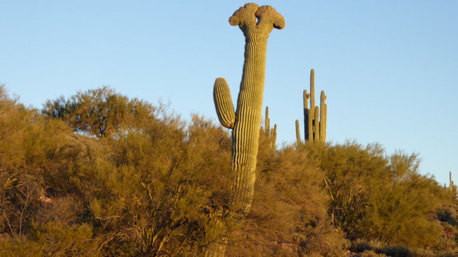
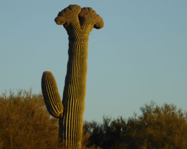
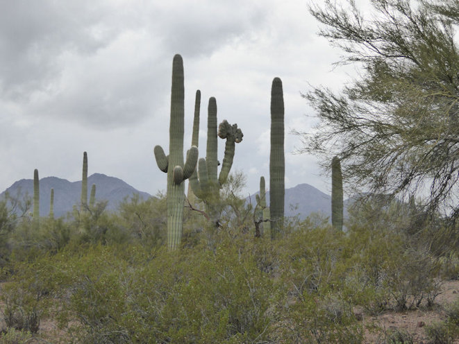
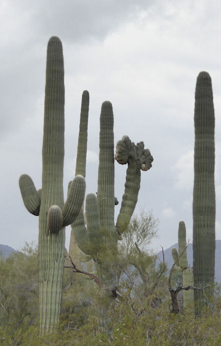
The crested saguaro cactus, also referred to as a fan-top cactus, is classified under Arizona law as a highly safeguarded protected native plant. According to Arizona law, it is unlawful to "destroy, dig up, mutilate, collect, cut, harvest, or take any living highly safeguarded native plant."
Some cactus specialists believe that only one saguaro out of perhaps 150,000 develop crests, according to forest officials. |
|
| |
|
| |
 |
| |
|
| |
Sunflower Mine, AZ |
| |
|
| |
 |
| |
Barb and Bill |
| |
|
| |
 |
| |
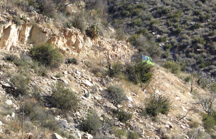
The trail just became too technical (see the "rock pile" just to the left and behind of the 4Runner), so we turned around |
| |
|
| |
 |
| |
|
| |
 |
| |
|
| |
 |
| |
|
| |
 |
| |
|
| |
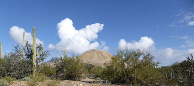
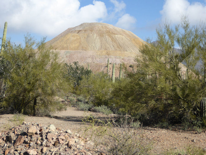
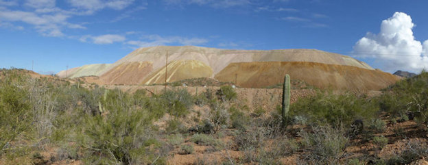
Silver Bell Mountains/Mine |
| |
|
| |
 |
| |
|
| |
 |
| |
|
| |
 |
| |
|
| |
 |
| |
|
| |
 |
| |
|
| |
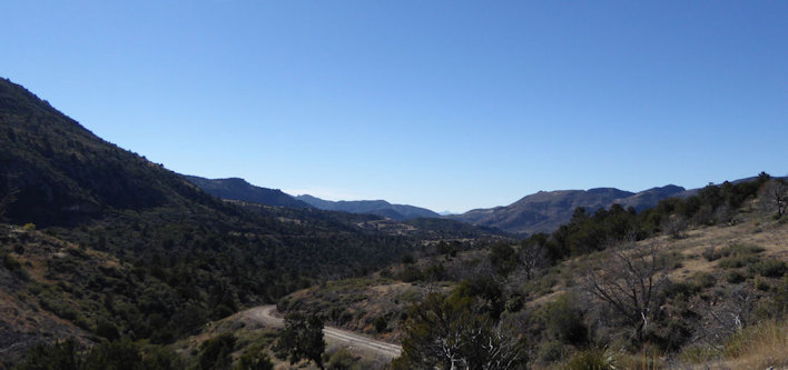
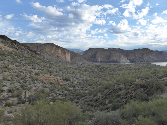
Apache Trail (AJ to Roosevelt Lake on 88) |
| |
|
| |
 |
| |
Canyon Lake |
| |
|
| |
 |
| |
Ditto |
| |
 |
| |
Nancy and Rob posing for another photographer |
| |
|
| |
 |
| |
|
| |
 |
| |
|
| |
 |
| |
Apache Lake |
| |
|
| |
 |
| |
Ditto |
| |
|
| |
 |
| |
|
| |
 |
| |
|
| |
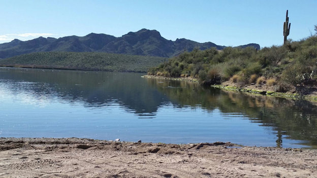
Saguaro Lake Cove |
| |
|
| |
The next six photos were provided by Nancy |
| |
 |
| |
A nice view of Weavers Needle from the North |
| |
|
| |
 |
| |
|
| |
 |
| |
|
| |
 |
| |
|
| |
 |
| |
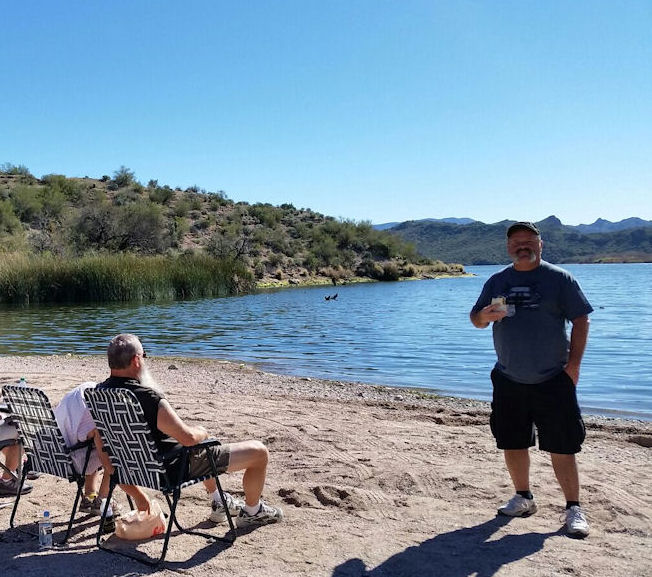
Lunch on the beach |
| |
 |
| |
|
| |
 |
| |
|
| |
 |
| |
|
| |
 |
| |
|
| |
 |
| |
|
| |
 |
| |
|
| |
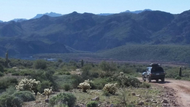
Montana Mountain & Coffee Flat Hiking Trail |
| |
|
| |
 |
| |
Because this road is now closed, this long hike (about a mile) down to the the Coffee Flat Trail head is required |
| |
|
| |
 |
| |
The Coffee Flat Trail starts down at the ranch shown here in the valley where you can see two water tanks |
| |
|
| |
 |
| |
Taking a break in a wash on the Coffee Flat Trail |
| |
|
| |
Four Peaks Road |
| |
|
| |
 |
| |
North side of Four Peaks with snow in early March |
| |
|
| |
 |
| |
Close-up of the same view |
| |
|
| |
 |
| |
View of Roosevelt Lake from near the top of the Four Peaks road - around 5700 feet in altitude (the lake is at about 2200 feet) |
| |
|
| |
  |
| |
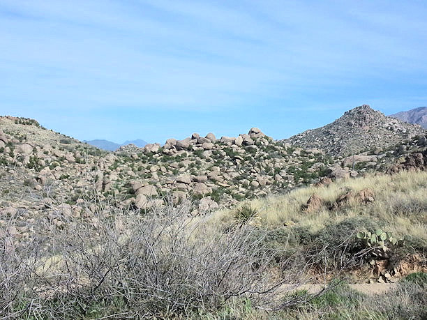
There were a few miles of this type of terain on the Four Peaks Road |
| |
|
| |
 |
| |
|
| |
 |
| |
|
| |
 |
| |
North side of the Four Peaks |
| |
|
| |
 |
| |
Pit stop . . . |
| |
|
| |
 |
| |
View of Roosevelt Lake from the Four Peaks Trail |
| |
|
| |
 |
| |
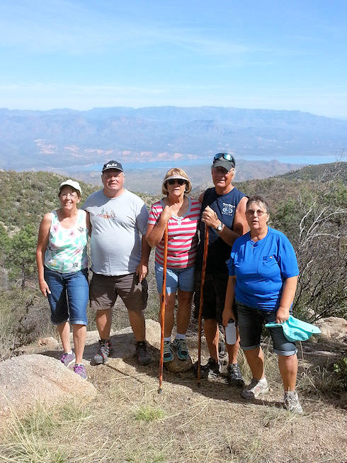
Photo (by Greg) of Nancy, Rob, Sandy, Tom, and Rita on the Four Peaks Hiking Trail |
| |
|
| |
 |
| |
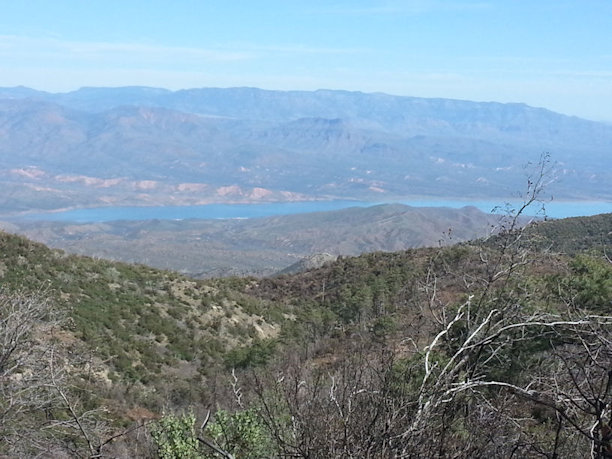
Another view of Roosevelt Lake from the Four Peaks Hiking Trail |
| |
|
| |
 |
| |
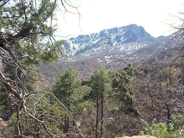
A great view of the North side of the Four Peaks, taken from the Four Peaks Hiking Trail (still has snow on March 2nd) |
| |
|
| |
 |
| |
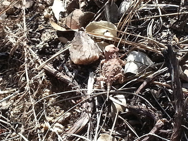
Appears to be a Desert Horned Lizard . . . |
| |
|
| |
 |
| |
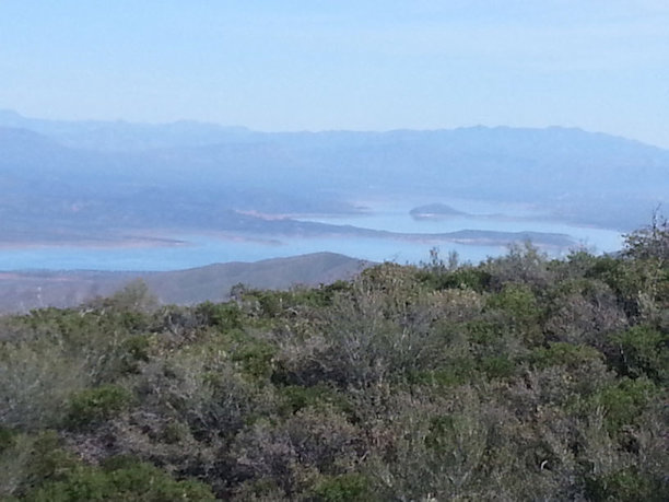
A view of Roosevelt Lake from the El Oso Road heading down from the Four Peaks Trail Head and heading towards highway 188 |
| |
|
| |
|